Trek Zone

Port of Brownsville, Brownsville
#14 among attractions in Brownsville

Harbor
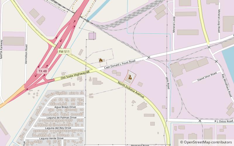
Port of Brownsville location map
Map

Facts and practical information

Coordinates: 25°57'3"N, 97°24'39"W
Address

Brownsville United States

Contact
Social media
Add
Day trips

Port of Brownsville – popular in the area (distance from the attraction)

Nearby attractions include: Gladys Porter Zoo, Gateway International Bridge, Immaculate Conception Cathedral, Veterans International Bridge at Los Tomates.

  • gladys porter zoo brownsville5.9 miSW
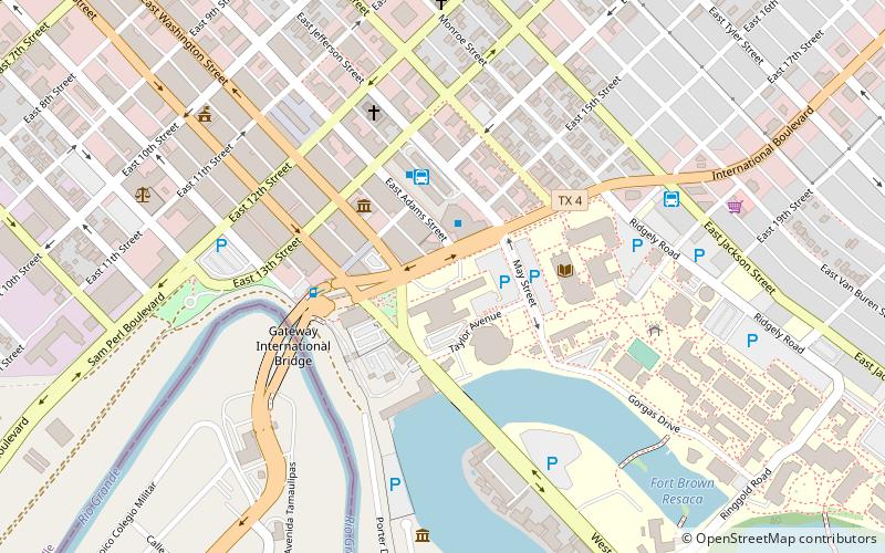
  • gateway international bridge brownsville6.5 miSW
  • immaculate conception cathedral brownsville6.3 miSW
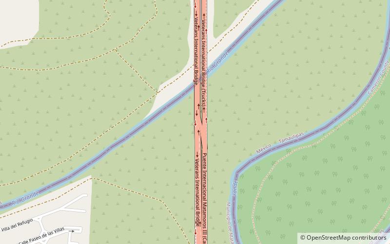
  • veterans international bridge at los tomates brownsville location map
    6.3 miSW
  • fort brown brownsville location map
    6.3 miSW
  • resaca de la palma battlefield brownsville4.9 miW
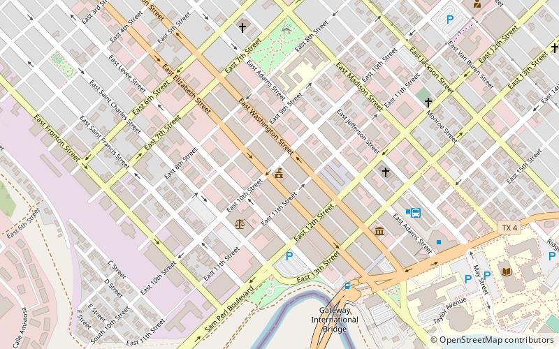
  • united states court house brownsville location map
    6.4 miSW
  • north brownsville park tennis center4.9 miW
  • rusteberg art gallery brownsville6.1 miSW
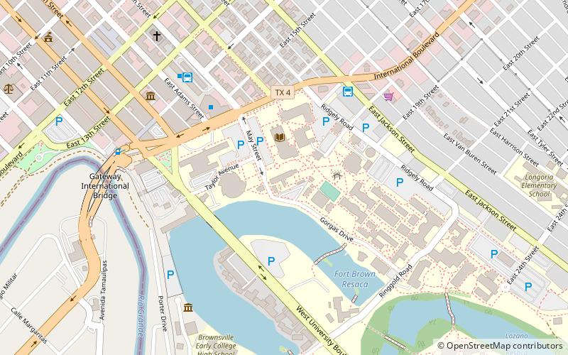
  • texas southmost college brownsville location map
    6.2 miSW
  • charro park brownsville location map
    5.9 miW

Where to next? Visit texas Texas region page or discover the top tourist attractions in United States.