Gordie Howe International Bridge, Detroit
Map
Facts and practical information
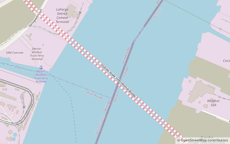
The Gordie Howe International Bridge, known during development as the Detroit River International Crossing and the New International Trade Crossing, is a cable-stayed international bridge across the Detroit River, currently under construction. The crossing will connect Detroit and Windsor by linking Interstate 75 and Interstate 96 in Michigan with Highway 401 in Ontario. The bridge will provide uninterrupted freeway traffic flow, as opposed to the current configuration with the nearby Ambassador Bridge which connects to city streets on the Ontario side. The bridge is named after Canadian ice hockey player Gordie Howe, whose celebrated career included 25 years with the Detroit Red Wings, and who died two years before construction began. ()
Getting there by public transportation
Public transportation stops near this location
- Bus
 Bus
Bus
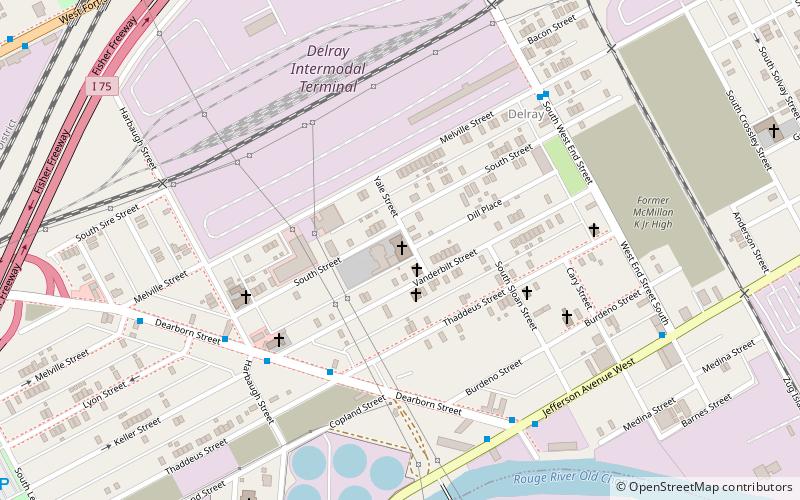
- Calculate routeJefferson / West End 22 min walk
- Calculate routeThaddeus / Sloan 26 min walk
- Calculate routeDearborn / Thaddeus 31 min walk
Day trips


Frequently Asked Questions (FAQ)
Which popular attractions are close to Gordie Howe International Bridge?
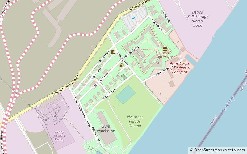
Nearby attractions include Fort Wayne Mound Site, Detroit (18 min walk), Fort Wayne, Detroit (20 min walk), Zug Island, Detroit (21 min walk).
How to get to Gordie Howe International Bridge by public transport?
The nearest stations to Gordie Howe International Bridge:
Bus
Bus
- Jefferson / West End • Lines: 54 (22 min walk)
- Thaddeus / Sloan • Lines: 54 (26 min walk)