Delray, Detroit
Map
Gallery
Facts and practical information
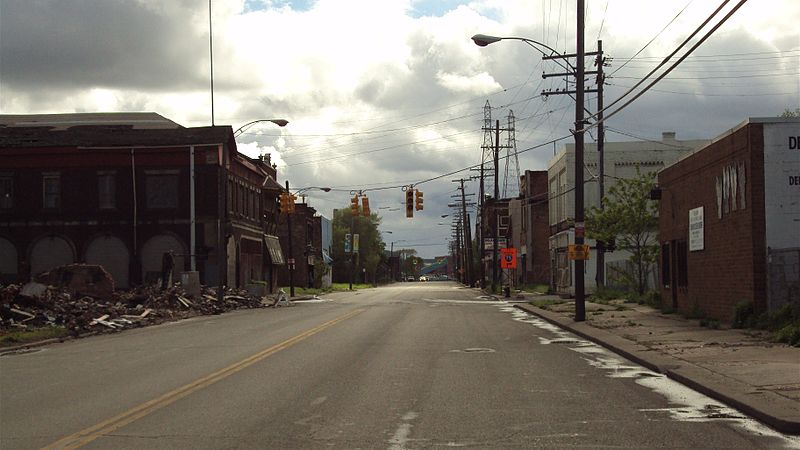
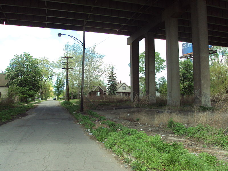
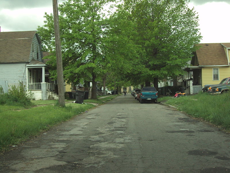
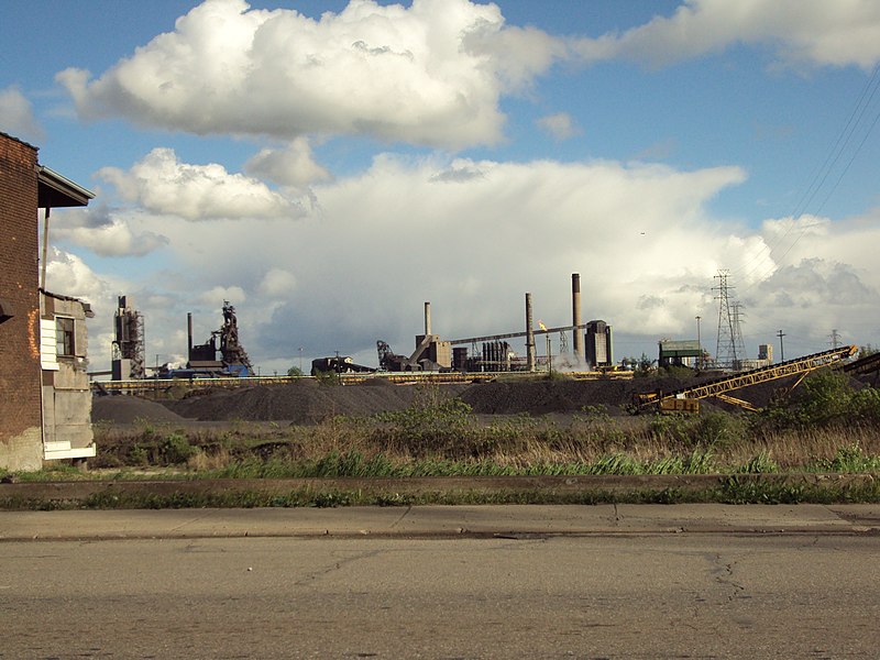
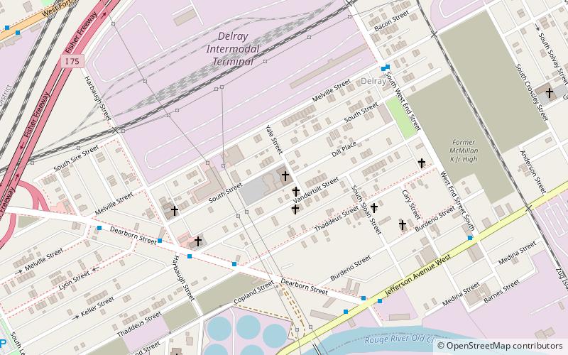
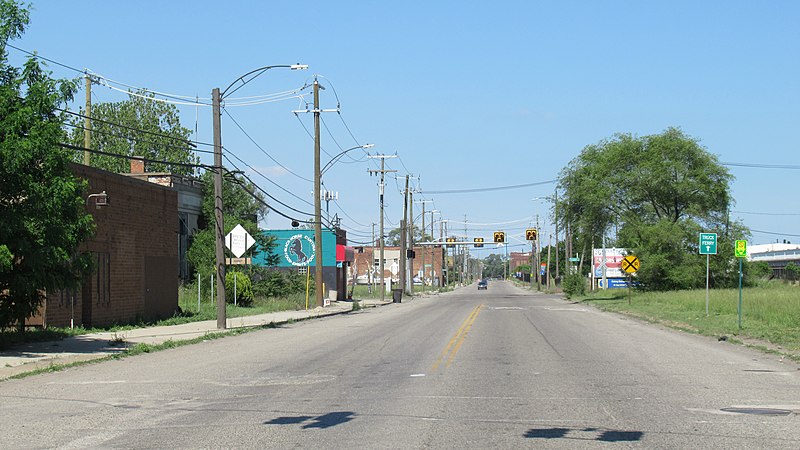
Delray is a neighborhood in southwest Detroit in the U.S. state of Michigan. Its area extends south to the River Rouge, east to the Detroit River, west to Fort Street, and north to Clark Street. The two census tracts that cover the neighborhood had a population of 2,783 at the 2010 census. ()
Coordinates: 42°17'45"N, 83°6'60"W
Address
Vernor (Delray)Detroit
ContactAdd
Social media
Add
Day trips
Delray – popular in the area (distance from the attraction)
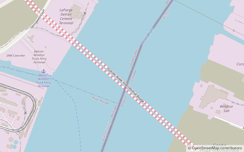
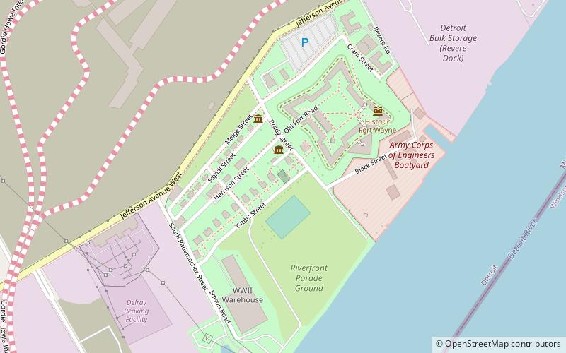
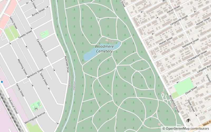
Nearby attractions include: Fort Wayne, Gordie Howe International Bridge, Fort Wayne Mound Site, Woodmere Cemetery.
Frequently Asked Questions (FAQ)
Which popular attractions are close to Delray?
Nearby attractions include Holy Cross Hungarian Roman Catholic Church, Detroit (6 min walk), Springwells, Detroit (24 min walk), Zug Island, Detroit (24 min walk).
How to get to Delray by public transport?
The nearest stations to Delray:
Bus
Bus
- Thaddeus / Sloan • Lines: 54 (5 min walk)
- Jefferson / West End • Lines: 54 (8 min walk)


