Fort Wayne Mound Site, Detroit

Map
Facts and practical information
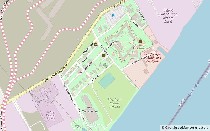
The Fort Wayne Mound Site was a Prehistoric burial mound located on the grounds of the Ordinance Department of the former Fort Wayne in Detroit, Michigan. It was one of a series of mounds in Detroit, including the Springwells Mound Group, the Carsten Mound and the Great Mound at the River Rouge. By the mid-20th century only the Fort Wayne Mound was still standing. Today, the remains of the mound—located near Officers’ Row—is fenced off to visitors. ()
Coordinates: 42°17'53"N, 83°5'52"W
Address
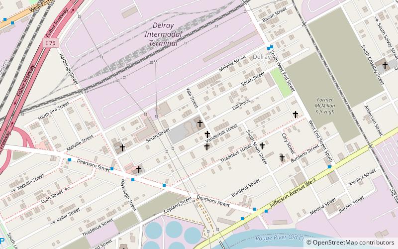
Vernor (Delray)Detroit
ContactAdd
Social media
Add
Day trips
Fort Wayne Mound Site – popular in the area (distance from the attraction)
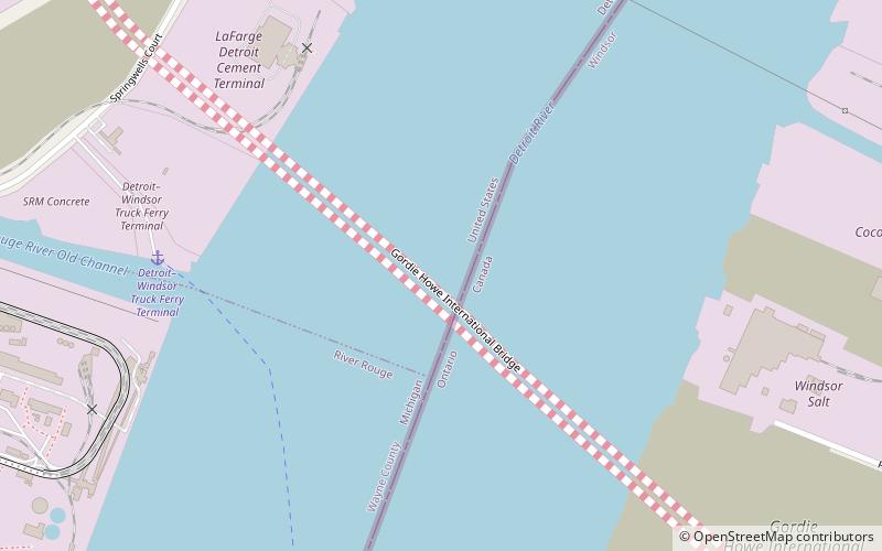
Nearby attractions include: Ambassador Bridge, Fort Wayne, Gordie Howe International Bridge, Zug Island.
Frequently Asked Questions (FAQ)
Which popular attractions are close to Fort Wayne Mound Site?
Nearby attractions include Fort Wayne, Detroit (3 min walk), Gordie Howe International Bridge, Detroit (18 min walk).
How to get to Fort Wayne Mound Site by public transport?
The nearest stations to Fort Wayne Mound Site:
Bus
Bus
- Fort / Crawford NS • Lines: 19 (17 min walk)
- Fort / Dragoon • Lines: 19 (17 min walk)


