Chesapeake and Ohio Canal commemorative obelisk, Washington D.C.
Map

Map

Facts and practical information
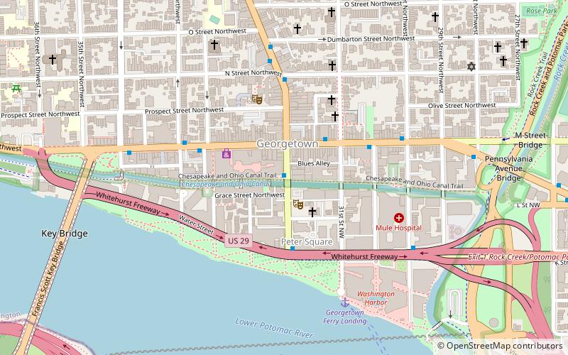
The Chesapeake and Ohio Canal commemorative obelisk is an 8-foot marble obelisk erected in 1850 in Washington, D.C., to mark the completion of the Chesapeake and Ohio Canal to Cumberland, Maryland. It stands on the northwest corner of the Wisconsin Avenue Bridge over the canal in Washington's Georgetown neighborhood. ()
Opened: 1850 (176 years ago)Coordinates: 38°54'16"N, 77°3'46"W
Address
Northwest Washington (Georgetown)Washington D.C.
ContactAdd
Social media
Add
Day trips
Chesapeake and Ohio Canal commemorative obelisk – popular in the area (distance from the attraction)
Nearby attractions include: Washington Harbour, Georgetown Park, Old Stone House, Key Bridge.
Frequently Asked Questions (FAQ)
Which popular attractions are close to Chesapeake and Ohio Canal commemorative obelisk?
Nearby attractions include City Tavern Club, Washington D.C. (2 min walk), Georgetown Market, Washington D.C. (2 min walk), Grace Episcopal Church, Washington D.C. (2 min walk), Georgetown Waterfront Park, Washington D.C. (3 min walk).
How to get to Chesapeake and Ohio Canal commemorative obelisk by public transport?
The nearest stations to Chesapeake and Ohio Canal commemorative obelisk:
Bus
Metro
Bus
- Lee Hwy at N Nash St • Lines: 55 (17 min walk)
- FlixBus Rosslyn • Lines: 2601 (18 min walk)
Metro
- Foggy Bottom–GWU • Lines: Bl, Or, Sv (19 min walk)
- Rosslyn • Lines: Bl, Or, Sv (19 min walk)


