Blue Plains, Washington D.C.
Map
Facts and practical information
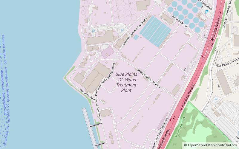
Blue Plains is a locale in the southwest quadrant of Washington, D.C. The area gives its name to the Blue Plains Advanced Wastewater Treatment Plant. ()
Coordinates: 38°48'56"N, 77°1'29"W
Address
Southwest WashingtonWashington D.C.
ContactAdd
Social media
Add
Getting there by public transportation
Public transportation stops near this location
- Bus
 Bus
Bus
- Calculate routeN Fairfax St + Second St 22 min walk
- Calculate routeSecond St+N Fairfax St 22 min walk
- Calculate routeN Fairfax St + Madison St 23 min walk
Day trips


Frequently Asked Questions (FAQ)
How to get to Blue Plains by public transport?
The nearest stations to Blue Plains:
Bus
Bus
- N Fairfax St + Second St • Lines: At2, DASH AT2 West (22 min walk)
- Second St+N Fairfax St • Lines: DASH AT2 West (22 min walk)