Al F. Caniglia Field, Omaha
Map
Facts and practical information
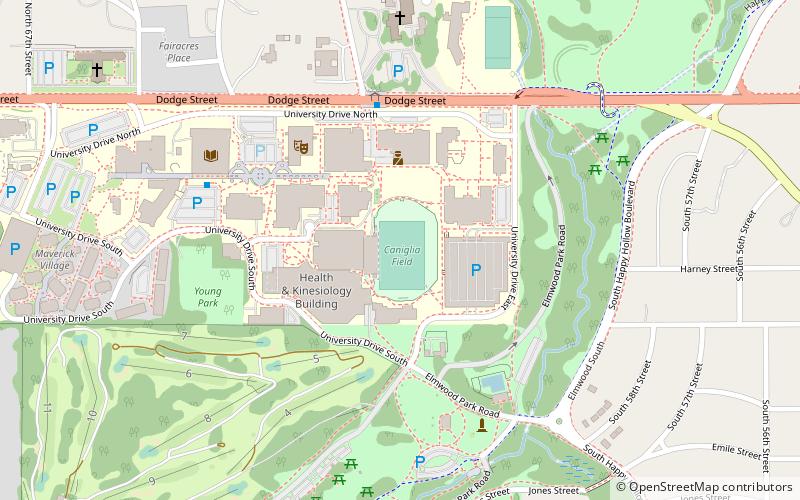
Al F. Caniglia Field is a stadium located on the campus of the University of Nebraska at Omaha in Omaha, Nebraska. Beginning on October 26, 2013, it became home of the Omaha Mavericks men's and women's soccer teams. Caniglia Field seats 3,097 fans and features 1,390 chairback seats and VIP boxes. The field features a 21-foot by 42-foot LED video board and scoreboard. The Omaha soccer pitch, installed by Hellas Construction, is the only NCAA Division I field to receive the prestigious FIFA Recommended 2-Star certification. The state-of-the-art soccer-specific turf features a lower grain that allows the ball to move faster and an infill of ground coconut husks and cork to keep the on-field temperature lower. ()
Capacity: 6000Coordinates: 41°15'26"N, 96°0'27"W
Getting there by public transportation
Public transportation stops near this location
- Bus
 Bus
Bus
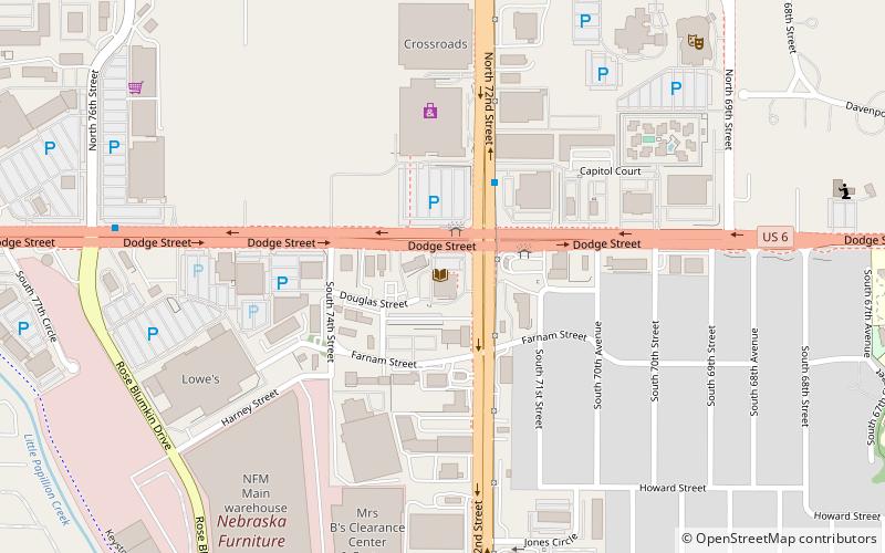
- Calculate route62nd & Dodge 5 min walk
- Calculate route50th & Dodge 23 min walk
- Calculate route72nd & Dodge 23 min walk
Day trips


Frequently Asked Questions (FAQ)
Which popular attractions are close to Al F. Caniglia Field?
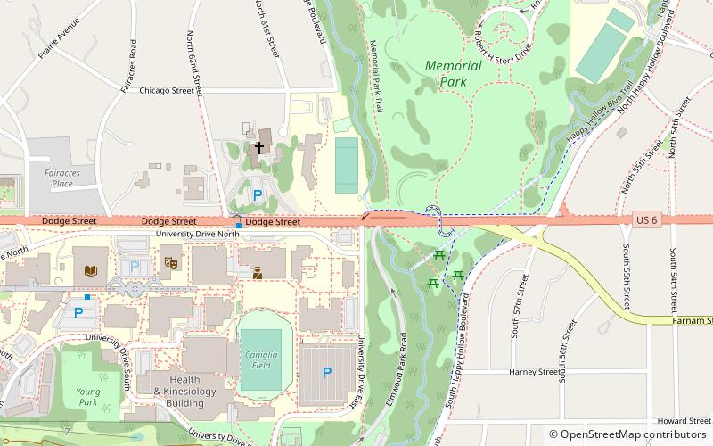
Nearby attractions include Eugene C. Eppley Administration Building, Omaha (4 min walk), University of Nebraska Omaha, Omaha (6 min walk), UNO Criss Library, Omaha (7 min walk), Memorial Park, Omaha (12 min walk).
How to get to Al F. Caniglia Field by public transport?
The nearest stations to Al F. Caniglia Field:
Bus
Bus
- 62nd & Dodge • Lines: 2 (5 min walk)
- 50th & Dodge • Lines: 2 (23 min walk)