St. Vincent de Paul Church, Chicago
Map
Map

Facts and practical information
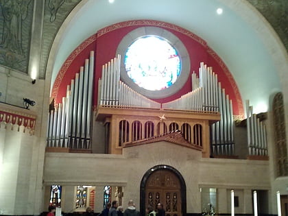
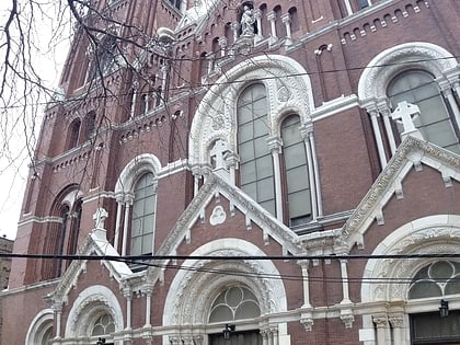
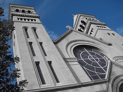
St. Vincent de Paul Church is a historic parish church of the Roman Catholic Archdiocese of Chicago located in Chicago, Illinois. The parish was founded by the Vincentians in 1875. ()
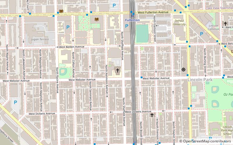
Architectural style: Romanesque architectureCoordinates: 41°55'20"N, 87°39'14"W
Day trips
St. Vincent de Paul Church – popular in the area (distance from the attraction)
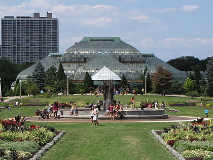
Nearby attractions include: Kingston Mines, Sullivan Athletic Center, Lincoln Park Conservatory, Oz Park.
Frequently Asked Questions (FAQ)
Which popular attractions are close to St. Vincent de Paul Church?
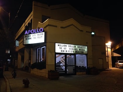
Nearby attractions include McCormick Row House District, Chicago (7 min walk), Lincoln Park, Chicago (9 min walk), Biograph Theater, Chicago (10 min walk), Apollo Theater Chicago, Chicago (11 min walk).
How to get to St. Vincent de Paul Church by public transport?
The nearest stations to St. Vincent de Paul Church:
Bus
Metro
Train
Bus
- Webster & Bissell • Lines: 37 (3 min walk)
- Fullerton & Sheffield • Lines: 37, 74 (6 min walk)
Metro
- Fullerton • Lines: Brown, Purple, Red (6 min walk)
- Armitage • Lines: Brown, Purple (8 min walk)
Train
- Clybourn (21 min walk)
 Rail "L"

