Cherry Avenue Bridge, Chicago
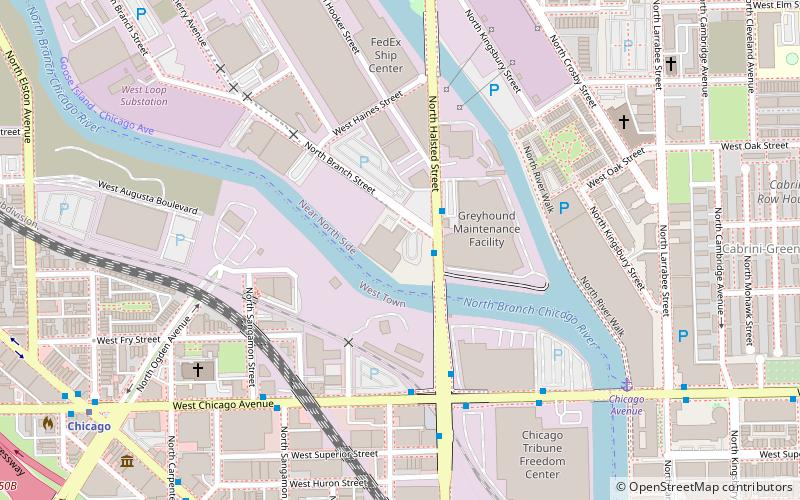
Map
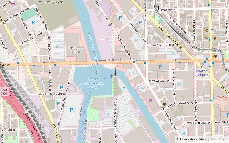
Map

Facts and practical information
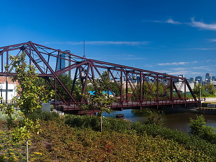
The Cherry Avenue Bridge is an asymmetric bob-tail swing bridge in Chicago, Illinois that carries the Chicago Terminal Railroad, pedestrians, and cyclists across the North Branch Canal of the Chicago River. It was constructed in 1901–02 by the Chicago, Milwaukee and St. Paul Railway, and it is a rare example of this type of bridge; it was designated a Chicago Landmark on December 12, 2007. ()
Coordinates: 41°54'37"N, 87°39'20"W
Address
Downtown (Near North Side)Chicago
ContactAdd
Social media
Add
Day trips
Cherry Avenue Bridge – popular in the area (distance from the attraction)
Nearby attractions include: Polish Museum of America, Sullivan Athletic Center, Zanies Comedy Club, Oz Park.
Frequently Asked Questions (FAQ)
Which popular attractions are close to Cherry Avenue Bridge?
Nearby attractions include North Avenue Bridge, Chicago (2 min walk), iO Chicago, Chicago (6 min walk), Yondorf Block and Hall, Chicago (10 min walk), Royal George Theater, Chicago (11 min walk).
How to get to Cherry Avenue Bridge by public transport?
The nearest stations to Cherry Avenue Bridge:
Bus
Metro
Train
Bus
- North Ave & Kingsbury • Lines: 72, (N) N9 (3 min walk)
Metro
- North/Clybourn • Lines: Red (9 min walk)
- Armitage • Lines: Brown, Purple (15 min walk)
Train
- Clybourn (21 min walk)
 Rail "L"

