North Avenue Bridge, Chicago
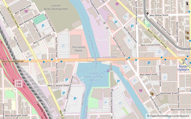
Map
Facts and practical information
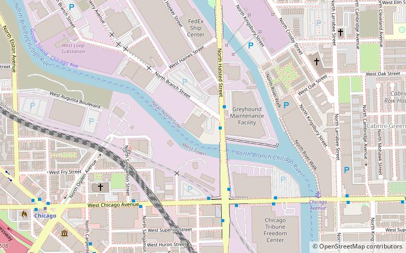
The North Avenue Bridge can refer to one of three bridges that has carried North Avenue over the North Branch of the Chicago River on the north side of Chicago, Illinois. A center-pier swing bridge built in 1877 was replaced in 1907 by a bascule bridge, allowing river traffic more room for maneuvering in and out of the North Canal, just north of Goose Island. ()
Coordinates: 41°54'39"N, 87°39'25"W
Address
North Side (Lincoln Park)Chicago
ContactAdd
Social media
Add
Day trips
North Avenue Bridge – popular in the area (distance from the attraction)
Nearby attractions include: Double Door, Polish Museum of America, Sullivan Athletic Center, Wicker Park.
Frequently Asked Questions (FAQ)
Which popular attractions are close to North Avenue Bridge?
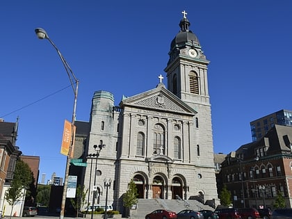
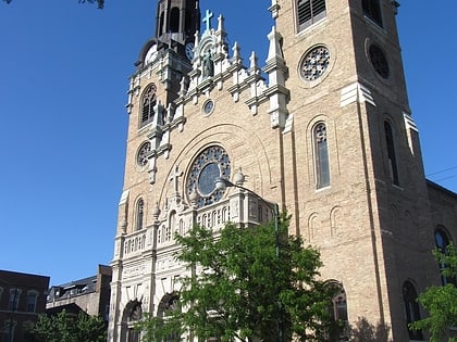
Nearby attractions include Cherry Avenue Bridge, Chicago (2 min walk), iO Chicago, Chicago (8 min walk), St. Stanislaus Kostka Church, Chicago (11 min walk), Yondorf Block and Hall, Chicago (12 min walk).
How to get to North Avenue Bridge by public transport?
The nearest stations to North Avenue Bridge:
Bus
Metro
Train
Bus
- North Ave & Kingsbury • Lines: 72, (N) N9 (4 min walk)
Metro
- North/Clybourn • Lines: Red (11 min walk)
- Armitage • Lines: Brown, Purple (15 min walk)
Train
- Clybourn (19 min walk)
 Rail "L"

