Grant Avenue, San Francisco
Map
Gallery
Facts and practical information
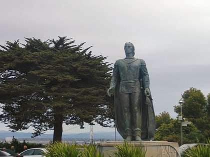
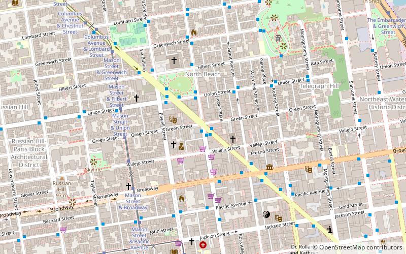
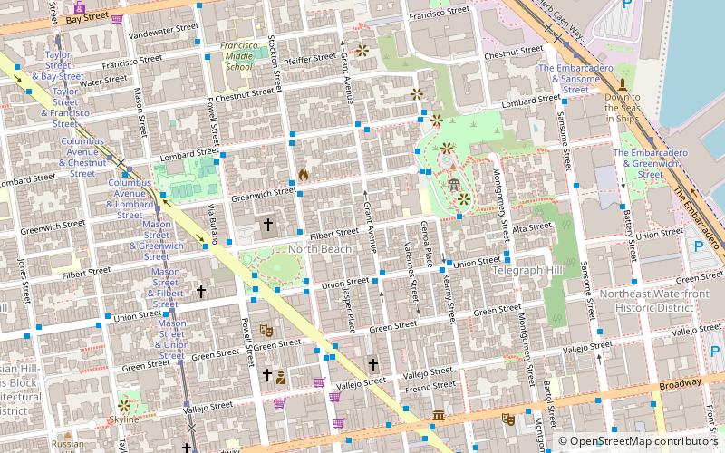
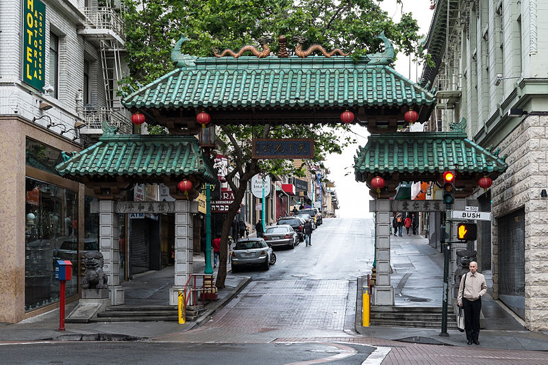
Grant Avenue in San Francisco, California, is one of the oldest streets in the city's Chinatown district. It runs in a north–south direction starting at Market Street in the heart of downtown and dead-ending past Francisco Street in the North Beach district. It resumes at North Point Street and stretches one block to The Embarcadero and the foot of Pier 39. ()
Address
Northeast San Francisco (North Beach)San Francisco
ContactAdd
Social media
Add
Day trips
Grant Avenue – popular in the area (distance from the attraction)
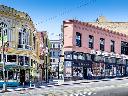
Nearby attractions include: Coit Tower, Bimbo's 365 Club, City Lights Bookstore, Nuestra Senora De Guadalupe Church.
Frequently Asked Questions (FAQ)
Which popular attractions are close to Grant Avenue?
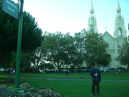
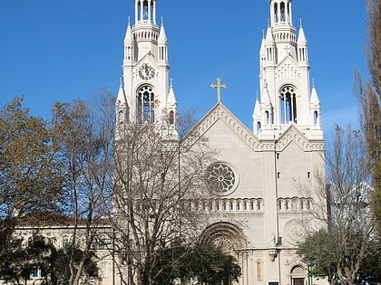
Nearby attractions include North Beach, San Francisco (2 min walk), Saints Peter and Paul Church, San Francisco (3 min walk), Washington Square, San Francisco (4 min walk), Coit Tower, San Francisco (4 min walk).
How to get to Grant Avenue by public transport?
The nearest stations to Grant Avenue:
Trolleybus
Bus
Tram
Ferry
Light rail
Metro
Trolleybus
- Union Street & Columbus Avenue • Lines: 45 (4 min walk)
- Columbus Avenue & Union Street • Lines: 30 (4 min walk)
Bus
- Columbus Avenue & Union Street • Lines: 30, 8, 91 (4 min walk)
- Powell Street & Filbert Street • Lines: 8 (5 min walk)
Tram
- Mason Street & Filbert Street (7 min walk)
- Mason Street & Greenwich Street (7 min walk)
Ferry
- Pier 41 Gate 1 • Lines: Blue & Gold Fleet (15 min walk)
- Pier 41 Gate 2 • Lines: Blue & Gold Fleet, San Francisco Bay Ferry (16 min walk)
Light rail
- Embarcadero • Lines: K, N, S, T (22 min walk)
- Montgomery Street • Lines: K, N, S, T (24 min walk)
Metro
- Embarcadero • Lines: Blue, Green, Red, Yellow (22 min walk)
- Montgomery Street • Lines: Blue, Green, Red, Yellow (24 min walk)
 Muni Metro

