Southeast Water Trough, Des Moines
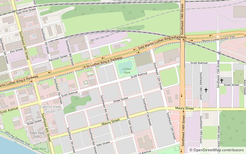
Map
Map

Facts and practical information
The Southeast Water Trough is an historic structure located in Des Moines, Iowa, United States. It is one of the last of 15 National Humane Alliance fountains that were placed around the city by the Iowa Humane Alliance. They were also named Ensign fountains after the founder of the National Humane Alliance, Hermon Lee Ensign. This was one of two placed in Des Moines in 1906. ()
Built: 1906 (120 years ago)Coordinates: 41°34'58"N, 93°36'4"W
Address
East VillageDes Moines
ContactAdd
Social media
Add
Day trips
Southeast Water Trough – popular in the area (distance from the attraction)
Nearby attractions include: Iowa State Capitol, Principal Park, Wells Fargo Arena, Des Moines City Hall.
Frequently Asked Questions (FAQ)
Which popular attractions are close to Southeast Water Trough?
Nearby attractions include Des Moines Western Railway Freight House, Des Moines (13 min walk), Iowa State Capitol, Des Moines (16 min walk), State Library of Iowa, Des Moines (16 min walk), Teachout Building, Des Moines (19 min walk).
How to get to Southeast Water Trough by public transport?
The nearest stations to Southeast Water Trough:
Bus
Bus
- E Walnut St / E 13th St • Lines: D-Line (14 min walk)
- E 12th St / State Capitol • Lines: D-Line (17 min walk)


