Globeville, Denver
Map

Map

Facts and practical information
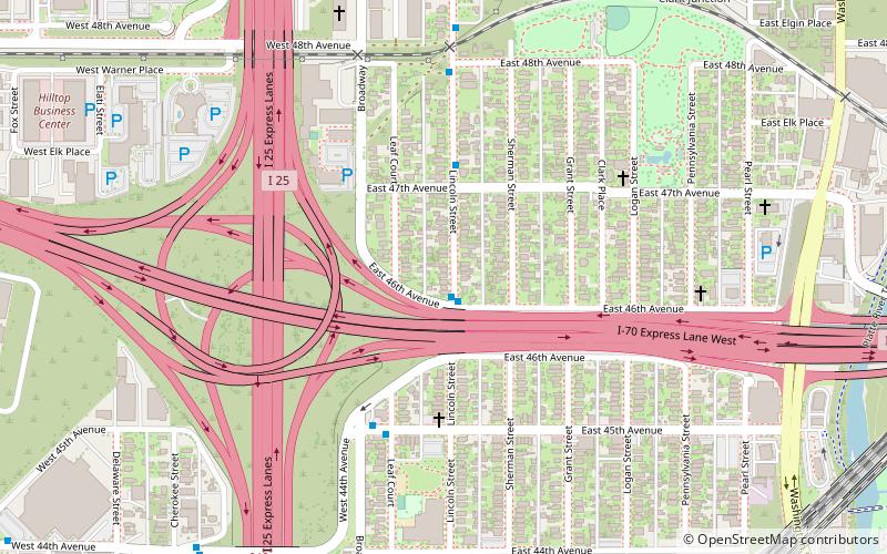
Globeville is a neighborhood of Denver, Colorado. Globeville is located in the area traditionally called North Denver. ()
Coordinates: 39°46'50"N, 104°59'10"W
Address
North Denver (Globeville)Denver
ContactAdd
Social media
Add
Day trips
Globeville – popular in the area (distance from the attraction)
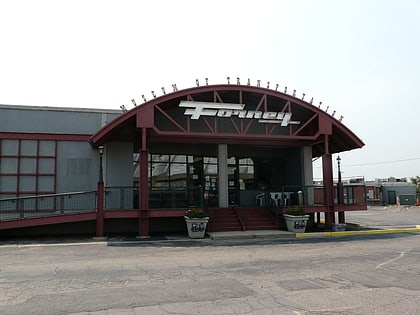
Nearby attractions include: Denver Coliseum, Forney Museum of Transportation, Mission Ballroom, Annunciation Roman Catholic Church.
Frequently Asked Questions (FAQ)
Which popular attractions are close to Globeville?
Nearby attractions include St. Joseph's Polish Roman Catholic Church, Denver (7 min walk), Regency Student Housing, Denver (19 min walk), Forney Museum of Transportation, Denver (21 min walk).
How to get to Globeville by public transport?
The nearest stations to Globeville:
Bus
Train
Bus
- Lincoln Street & East 46th Avenue • Lines: 8 (1 min walk)
- East 45th Avenue & Leaf Court • Lines: 8 (5 min walk)
Train
- 41st & Fox (20 min walk)
- 38th & Blake (25 min walk)


