International Boulevard, Oakland

Map
Facts and practical information
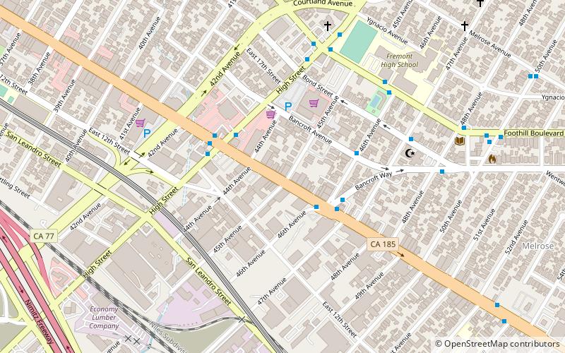
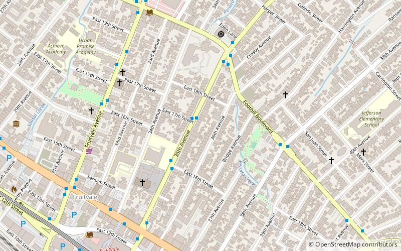
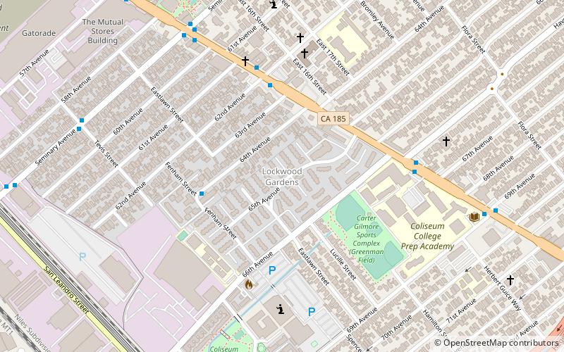
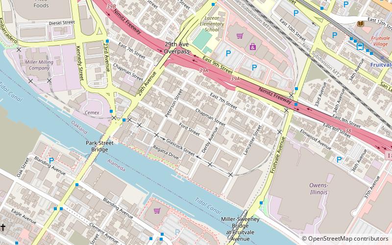
International Boulevard, East 14th Street, and Mission Boulevard are a major road in Alameda County, California. The section now known as International Boulevard was also named East 14th Street until 1996, owing to its position in the East Oakland grid plan; though fully deprecated within the city of Oakland today, this name is still commonly used, especially in casual speech. Mission Boulevard is so named as number 43300 is the location of Mission San José. ()
Coordinates: 37°46'18"N, 122°12'47"W
Address
Central East Oakland (Fremont)Oakland
ContactAdd
Social media
Add
Day trips
International Boulevard – popular in the area (distance from the attraction)
Nearby attractions include: Fruitvale Bridge, High Street Bridge, Norton Factory Studios, Cohen Bray House.
Frequently Asked Questions (FAQ)
Which popular attractions are close to International Boulevard?
Nearby attractions include Fruitvale, Oakland (18 min walk), East Oakland, Oakland (18 min walk), High Street Bridge, Oakland (21 min walk).
How to get to International Boulevard by public transport?
The nearest stations to International Boulevard:
Bus
Metro
Bus
- International Boulevard & 46th Avenue • Lines: 1 (3 min walk)
- High Street & International Boulevard • Lines: 14 (3 min walk)
Metro
- Fruitvale • Lines: Blue, Green, Orange (17 min walk)


