East Oakland, Oakland
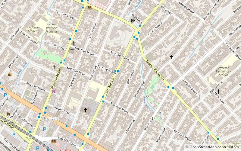
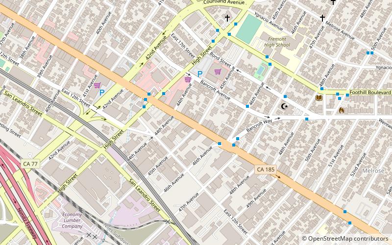
Map

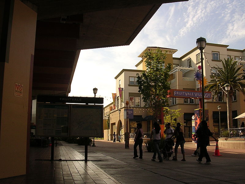
Gallery

Facts and practical information
East Oakland is a geographical region of Oakland, California, United States, that stretches between Lake Merritt in the northwest and San Leandro in the southeast. As the southeastern portion of the city, East Oakland takes up the largest portion of the city's land area. ()
Coordinates: 37°46'47"N, 122°13'13"W
Address
Fruitvale (Saint Elizabeth)Oakland
ContactAdd
Social media
Add
Day trips
East Oakland – popular in the area (distance from the attraction)
Nearby attractions include: Subpar Miniature Golf, Fruitvale Bridge, Park Street Bridge, High Street Bridge.
Frequently Asked Questions (FAQ)
Which popular attractions are close to East Oakland?
Nearby attractions include Fruitvale, Oakland (1 min walk), Cohen Bray House, Oakland (11 min walk), Norton Factory Studios, Oakland (14 min walk), International Boulevard, Oakland (18 min walk).
How to get to East Oakland by public transport?
The nearest stations to East Oakland:
Bus
Metro
Bus
- 35th Avenue & East 17th Street • Lines: 54 (1 min walk)
- Foothill Boulevard & 35th Avenue • Lines: 40, 840 (5 min walk)
Metro
- Fruitvale • Lines: Blue, Green, Orange (11 min walk)


