State Theater, Ann Arbor
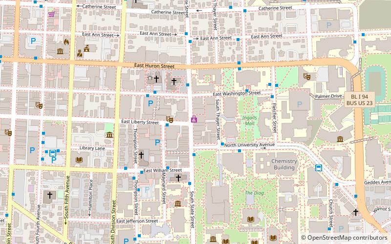
Map

Map

Facts and practical information
The State Theatre is an operational former movie palace in Ann Arbor, Michigan, designed by C. Howard Crane in the Art Deco style. ()
Opened: 18 March 1942 (83 years ago)Coordinates: 42°16'46"N, 83°44'26"W
Day trips
State Theater – popular in the area (distance from the attraction)
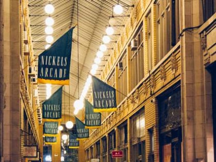
Nearby attractions include: Yost Ice Arena, University of Michigan Museum of Art, Nickels Arcade, Kempf House.
Frequently Asked Questions (FAQ)
Which popular attractions are close to State Theater?
Nearby attractions include Michigan Theater, Ann Arbor (2 min walk), Hill Auditorium, Ann Arbor (3 min walk), Nickels Arcade, Ann Arbor (3 min walk), Burton Memorial Tower, Ann Arbor (3 min walk).
How to get to State Theater by public transport?
The nearest stations to State Theater:
Bus
Train
Bus
- State + N University • Lines: 62 (2 min walk)
- Washington + State • Lines: 21, 23A, 23B, 3, 65, 91, 92 (4 min walk)
Train
- Ann Arbor (16 min walk)


