University of Michigan Central Campus Historic District, Ann Arbor
Map

Gallery

Facts and practical information
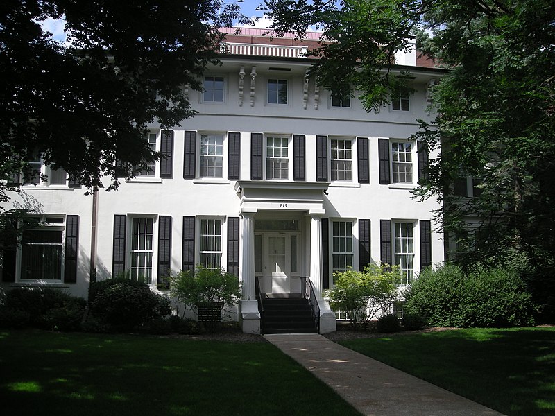
The University of Michigan Central Campus Historic District is a historic district consisting of a group of major buildings on the campus of the University of Michigan in Ann Arbor, Michigan. It was listed on the National Register of Historic Places in 1978. ()
Area: 85 acres (0.1328 mi²)Coordinates: 42°16'37"N, 83°44'15"W
Address
Central Ann Arbor (Downtown Ann Arbor)Ann Arbor
ContactAdd
Social media
Add
Day trips
University of Michigan Central Campus Historic District – popular in the area (distance from the attraction)
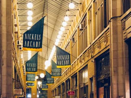
Nearby attractions include: Yost Ice Arena, University of Michigan Museum of Art, Nickels Arcade, Kempf House.
Frequently Asked Questions (FAQ)
Which popular attractions are close to University of Michigan Central Campus Historic District?
Nearby attractions include The Diag, Ann Arbor (1 min walk), University of Michigan Library, Ann Arbor (2 min walk), Weiser Hall, Ann Arbor (3 min walk), William L. Clements Library, Ann Arbor (3 min walk).
How to get to University of Michigan Central Campus Historic District by public transport?
The nearest stations to University of Michigan Central Campus Historic District:
Bus
Train
Bus
- N - SU opposite Tappan • Lines: 62 (4 min walk)
- Central Campus Transit Center (4 min walk)
Train
- Ann Arbor (21 min walk)


