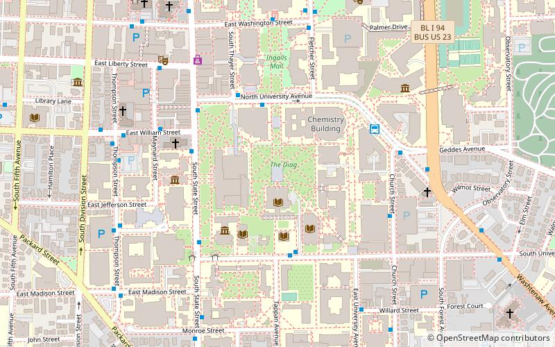
The Diag, Ann Arbor
Map

Map

Facts and practical information
The Diag is a large open space in the middle of the University of Michigan's Central Campus. Originally known as the Diagonal Green, the Diag derives its name from the many sidewalks running near or through it in diagonal directions. Many of the University's most frequented buildings are situated around the Diag, including West Hall, Randall Lab, the Shapiro Undergraduate Library, the Hatcher Graduate Library, and Angell, Mason, Haven, and Tisch Halls, among others. ()
Elevation: 873 ft a.s.l.Coordinates: 42°16'37"N, 83°44'18"W
Day trips
The Diag – popular in the area (distance from the attraction)
Nearby attractions include: Yost Ice Arena, University of Michigan Museum of Art, Nickels Arcade, Kempf House.
Frequently Asked Questions (FAQ)
Which popular attractions are close to The Diag?
Nearby attractions include University of Michigan Central Campus Historic District, Ann Arbor (1 min walk), University of Michigan Library, Ann Arbor (2 min walk), University of Michigan Law School, Ann Arbor (2 min walk), Angell Hall Observatory, Ann Arbor (3 min walk).
How to get to The Diag by public transport?
The nearest stations to The Diag:
Bus
Train
Bus
- N - SU opposite Tappan • Lines: 62 (4 min walk)
- State + William • Lines: 6 (4 min walk)
Train
- Ann Arbor (21 min walk)


