Hayhurst, Portland

Map
Facts and practical information
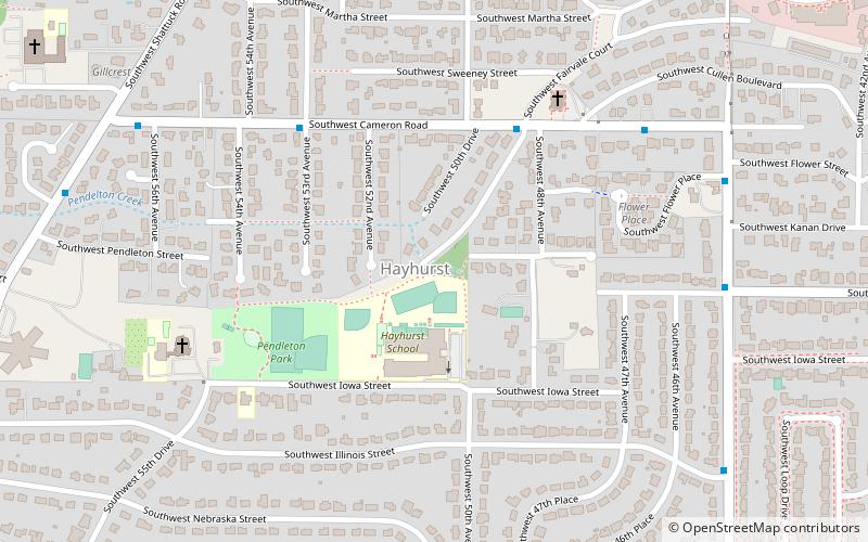
Hayhurst is a neighborhood in the southwest section of Portland, Oregon, on the border with Washington County. It borders Raleigh Hills and Beaverton, and the Portland neighborhoods of Bridlemile, Hillsdale, and Maplewood and Multnomah. ()
Coordinates: 45°28'53"N, 122°43'44"W
Day trips
Hayhurst – popular in the area (distance from the attraction)
Nearby attractions include: Council Crest Park, Gabriel Park, 40-Mile Loop, Congregation Neveh Shalom.
Frequently Asked Questions (FAQ)
Which popular attractions are close to Hayhurst?
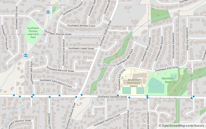
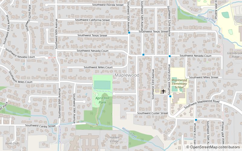
Nearby attractions include Maplewood, Portland (18 min walk), Gabriel Park, Portland (19 min walk), Bridlemile, Portland (20 min walk).
How to get to Hayhurst by public transport?
The nearest stations to Hayhurst:
Bus
Bus
- Southwest Cameron & Fairvale Court • Lines: 1 (5 min walk)
- 4600 Block Southwest Cameron • Lines: 1 (7 min walk)


