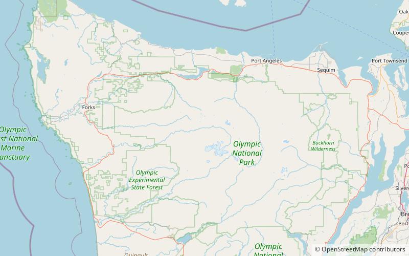
Bogachiel Peak, Olympic National Park
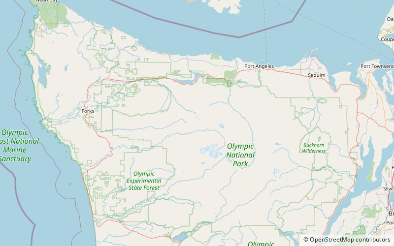
Map
Facts and practical information
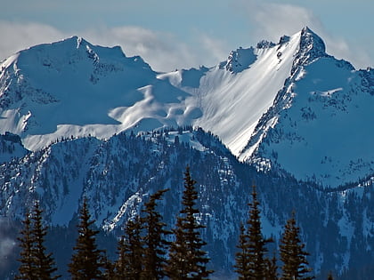
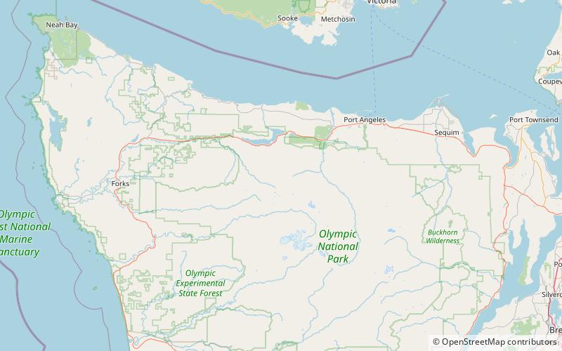
Bogachiel Peak is a 5,478-foot peak in the Olympic Mountains of Washington, U.S. It is located in Olympic National Park. It is a high point on High Divide, and forms the southern end of Seven Lakes Basin. The peak is situated at the headwaters of the Bogachiel River. The name "Bogachiel" is a corruption of the Quileute words bo qwa tcheel el, or /boqʷač'íʔl/, from /bó:q'ʷa/, "muddy", and /číʔlowa/, "water", meaning "gets riley after a rain", "muddy waters", or, less likely, "big river". ()
Elevation: 5478 ftProminence: 524 ftCoordinates: 47°54'19"N, 123°46'37"W
Address
Olympic National Park
ContactAdd
Social media
Add
Day trips
Bogachiel Peak – popular in the area (distance from the attraction)
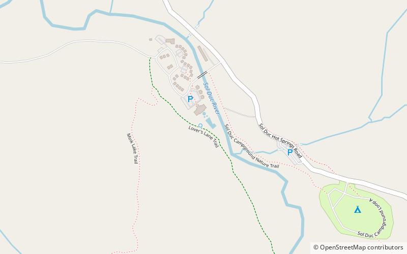
Nearby attractions include: Mount Appleton, Olympic Hot Springs, Sol Duc Hot Springs, Boulder Peak.
