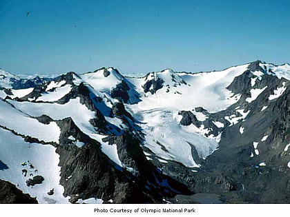
Mount Appleton, Olympic National Park
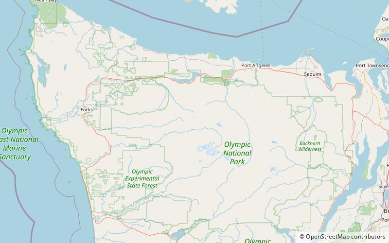
Map
Map

Facts and practical information
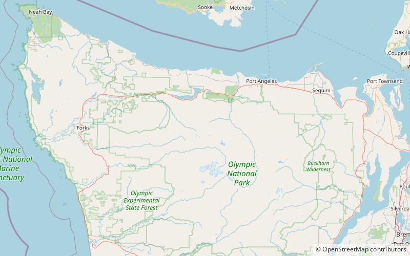
Mount Appleton is a 6,000+ ft double summit mountain located in the Olympic Mountains, in Clallam County of Washington state. It is set within Olympic National Park and is situated northwest of Appleton Pass. Its nearest higher peak is South Appleton, 0.33 mi to the south. Precipitation runoff from Mount Appleton drains into the Sol Duc River, and Boulder Creek which is a tributary of the Elwha River, thence into the Strait of Juan de Fuca. ()
Coordinates: 47°57'0"N, 123°43'59"W
Address
Olympic National Park
ContactAdd
Social media
Add
Day trips
Mount Appleton – popular in the area (distance from the attraction)
Nearby attractions include: Mount Fairchild, Mount Carrie, Mount Fitzhenry, Bogachiel Peak.


