Boulder Lake, Olympic National Park
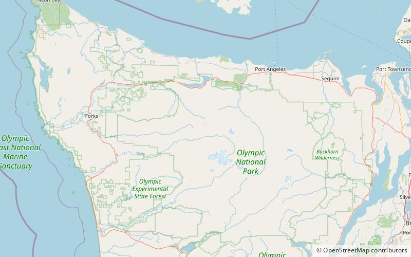
Map
Facts and practical information
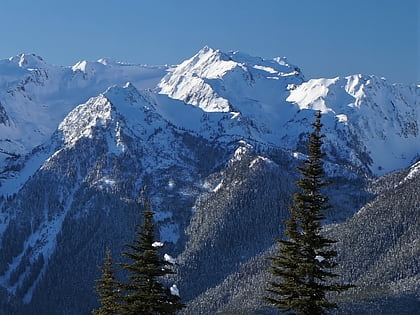
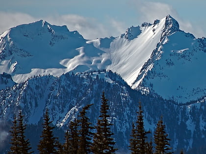
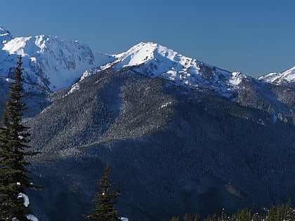
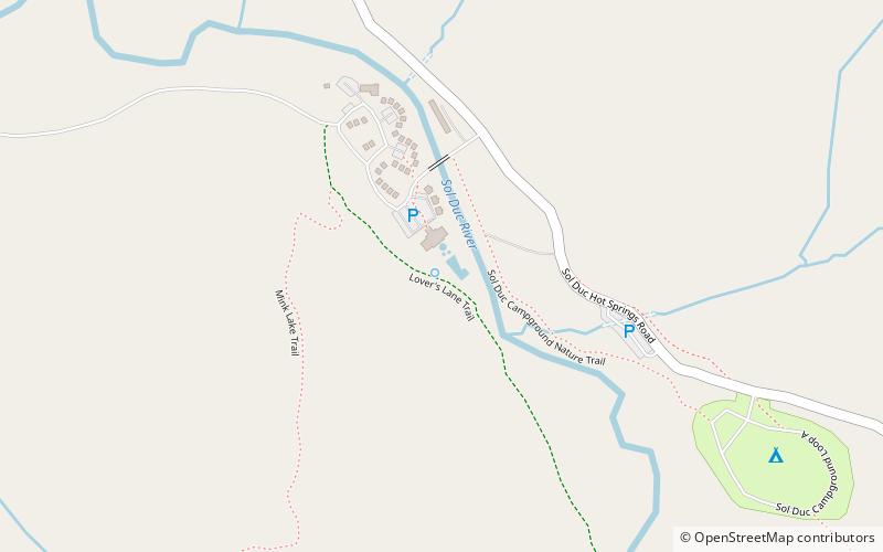
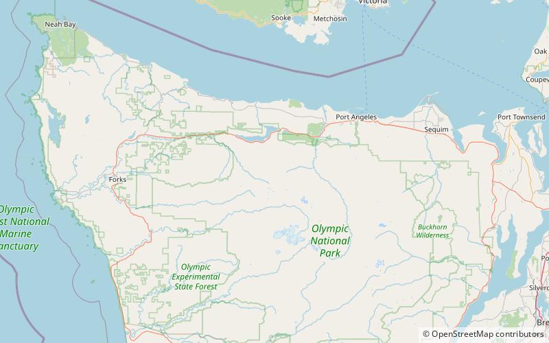
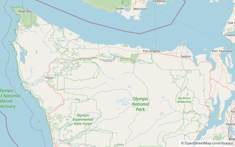
Boulder Lake is located in the Olympic National Park in Washington. It is accessible by the Olympic Hot Springs Trail and the Appleton Pass trail. The hike is about 12 miles round trip and has about a 2,500-foot elevation gain. At the lake there are a few camp sites and a bear wire to hang food. The lake lies at the base of Boulder Peak. ()
Elevation: 4341 ft a.s.l.Coordinates: 47°58'35"N, 123°45'0"W
Address
Olympic National Park
ContactAdd
Social media
Add
Day trips
Boulder Lake – popular in the area (distance from the attraction)
Nearby attractions include: Marymere Falls, Mount Fairchild, Mount Appleton, Mount Fitzhenry.

