St. Barbara Church, Chicago
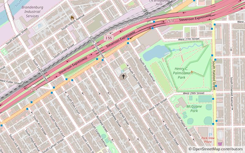
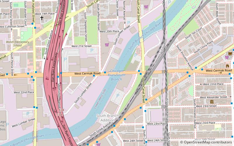
Map
Facts and practical information
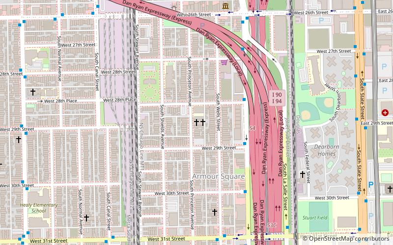
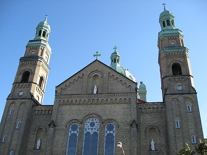
St. Barbara's in Chicago - historic church of the Roman Catholic Archdiocese of Chicago located in Chicago, Illinois, at 2859 South Throop St. ()
Coordinates: 41°50'33"N, 87°39'10"W
Address
2859 S Throop StSouth Side (Bridgeport)Chicago 60608
Contact
+1 312-842-7979
Social media
Add
Day trips
St. Barbara Church – popular in the area (distance from the attraction)
Nearby attractions include: Guaranteed Rate Field, Chinatown Square, Ping Tom Memorial Park, National Museum of Mexican Art.
Frequently Asked Questions (FAQ)
Which popular attractions are close to St. Barbara Church?
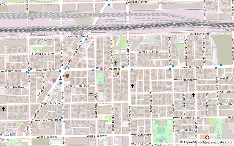
Nearby attractions include Bridgeport, Chicago (9 min walk), St. Mary of Perpetual Help Parish, Chicago (12 min walk), Chicago Maritime Museum, Chicago (22 min walk), Pilsen Historic District, Chicago (22 min walk).
How to get to St. Barbara Church by public transport?
The nearest stations to St. Barbara Church:
Bus
Metro
Bus
- Archer & Throop NB • Lines: 62, (N) N62 (3 min walk)
Metro
- Halsted • Lines: Orange (10 min walk)
- Ashland • Lines: Orange (18 min walk)
 Rail "L"
