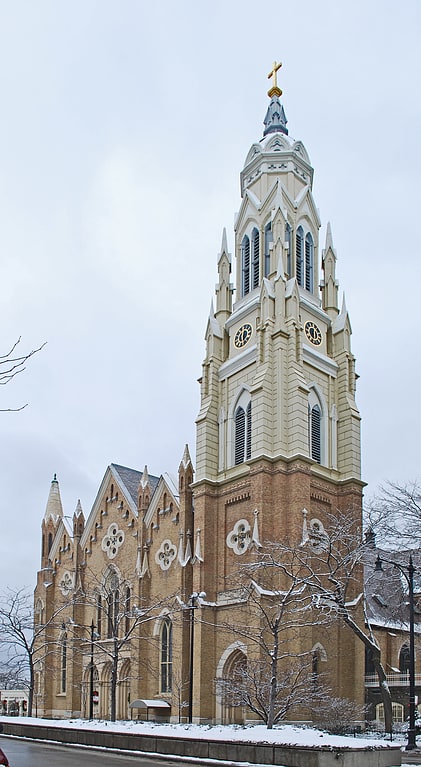
Thalia Hall, Chicago
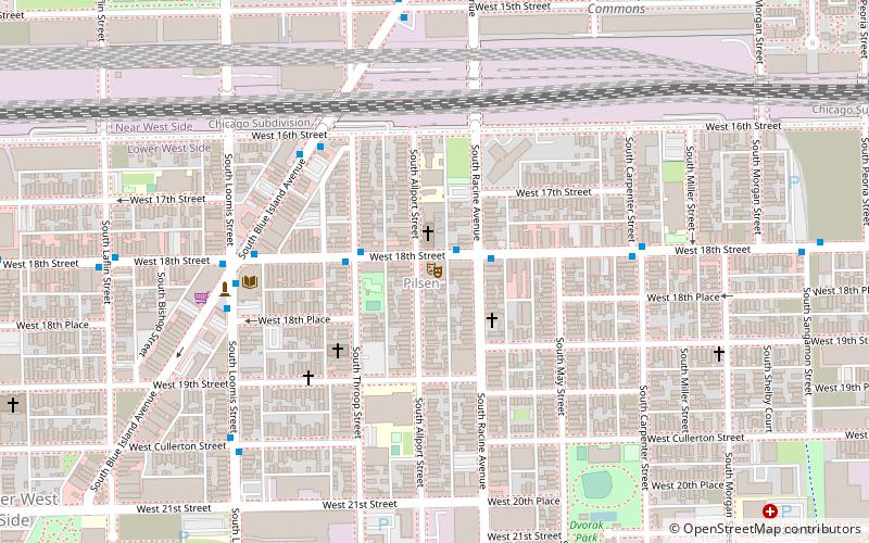
Map
Facts and practical information
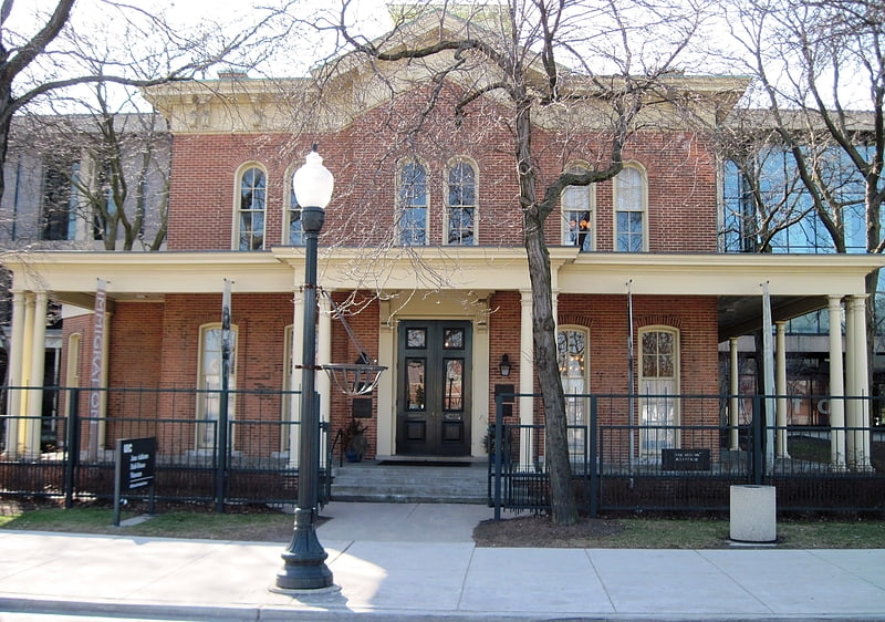
Thalia Hall is a historic building in Pilsen, Chicago which is currently a mixed-use music, retail, and bar/restaurant space. It was designated as a Chicago Landmark on October 25, 1989. ()
Coordinates: 41°51'28"N, 87°39'26"W
Address
1807 S Allport StWest Side (Lower West Side)Chicago 60608
Contact
+1 312-526-3851
Social media
Add
Getting there by public transportation
Public transportation stops near this location
- Metro
- Bus
- Train
 Metro
Metro
- Calculate route18th Street & Racine 2 min walk
- Calculate routeBlue Island & 16th Street NB 5 min walk
- Calculate routeHalsted Street 14 min walk
- Calculate route18th 16 min walk
- Calculate routeHalsted 23 min walk
- Calculate routeDamen 27 min walk
Maps Rail "L"
Rail "L"Day trips


Frequently Asked Questions (FAQ)
Which popular attractions are close to Thalia Hall?
Nearby attractions include Pilsen Historic District, Chicago (7 min walk), South Water Market, Chicago (9 min walk), Otis Elevator Company Factory Building, Chicago (10 min walk), Addams/Medill Park, Chicago (13 min walk).
How to get to Thalia Hall by public transport?
The nearest stations to Thalia Hall:
Bus
Train
Metro
Bus
- 18th Street & Racine • Lines: 18 (2 min walk)
- Blue Island & 16th Street NB • Lines: 60, (N) N60 (5 min walk)
Train
- Halsted Street (14 min walk)
Metro
- 18th • Lines: Pink (16 min walk)
- Halsted • Lines: Orange (23 min walk)