Merchants Row, Boston
Map
Facts and practical information
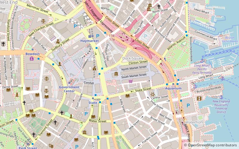
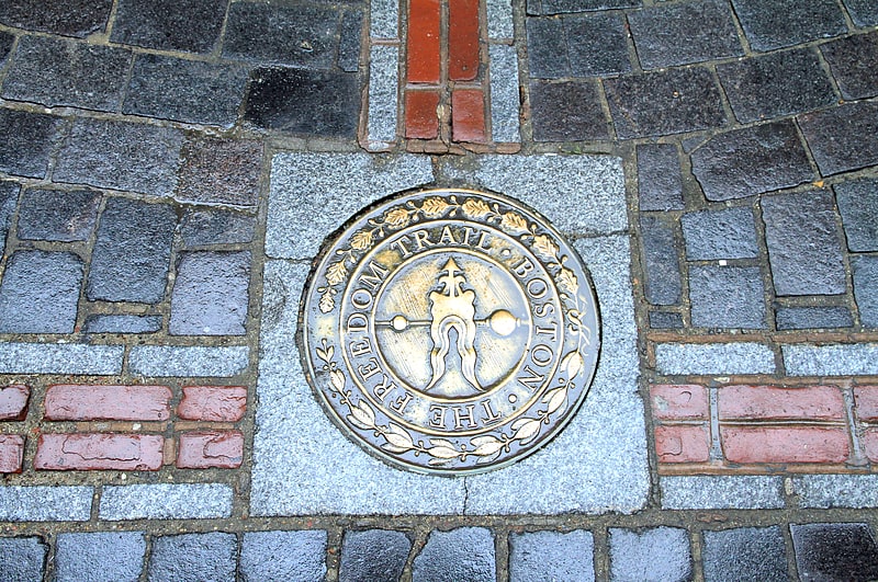
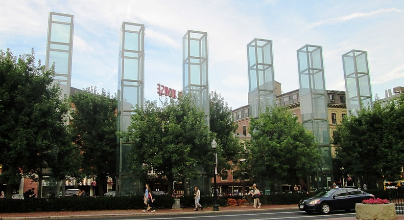
Merchants Row in Boston, Massachusetts is a short street extending from State Street to Faneuil Hall Square in the Financial District. Since the 17th century it has been a place of commercial activity. It sits close to Long Wharf and Dock Square, hubs of shipping and trade through the 19th century. Portions of the street were formerly known as Swing-Bridge Lane, Fish Lane, and Roebuck Passage. ()
Coordinates: 42°21'36"N, 71°3'21"W
Address
Downtown BostonBoston
ContactAdd
Social media
Add
Getting there by public transportation
Public transportation stops near this location
- Metro
- Bus
- Light rail
- Train
 Metro
Metro
- Calculate routeState 5 min walk
- Calculate routeHaymarket 5 min walk
- Calculate routeGovernment Center 6 min walk
- Calculate routeAquarium 6 min walk
- Calculate routeHaymarket 5 min walk
- Calculate routeGovernment Center 5 min walk
- Calculate routeNorth Station 11 min walk
- Calculate routePark Street 12 min walk
- Calculate routeFederal St @ Franklin St 9 min walk
- Calculate routeOtis St @ Summer St 11 min walk
- Calculate routeTremont St opp Temple Pl 12 min walk
- Calculate routeLincoln St @ Essex St 15 min walk
- Calculate routeBoston North Station 14 min walk
- Calculate routeBoston South Station 16 min walk
- Calculate routeBoston Back Bay 34 min walk
Maps MBTA Subway
MBTA SubwayDay trips


Frequently Asked Questions (FAQ)
Which popular attractions are close to Merchants Row?
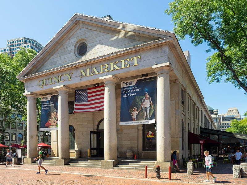
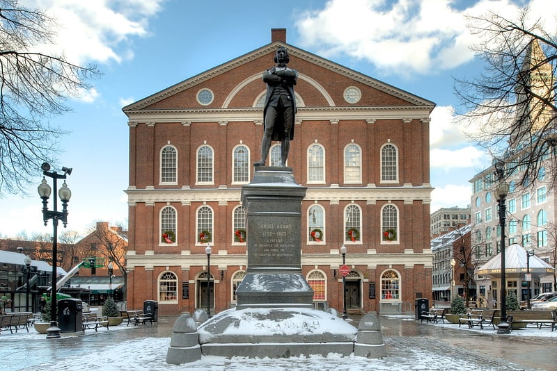
Nearby attractions include Boston National Historical Park, Boston (2 min walk), Dock Square, Boston (2 min walk), Faneuil Hall, Boston (2 min walk), Quincy Market, Boston (2 min walk).
How to get to Merchants Row by public transport?
The nearest stations to Merchants Row:
Metro
Light rail
Bus
Train
Metro
- State • Lines: Blue, Orange (5 min walk)
- Haymarket • Lines: Orange (5 min walk)
Light rail
- Haymarket • Lines: C, E (5 min walk)
- Government Center • Lines: C, D, E (5 min walk)
Bus
- Federal St @ Franklin St • Lines: 504 (9 min walk)
- Otis St @ Summer St • Lines: 504, 7 (11 min walk)
Train
- Boston North Station (14 min walk)
- Boston South Station (16 min walk)