Northeast Iowa Community College, Ottumwa
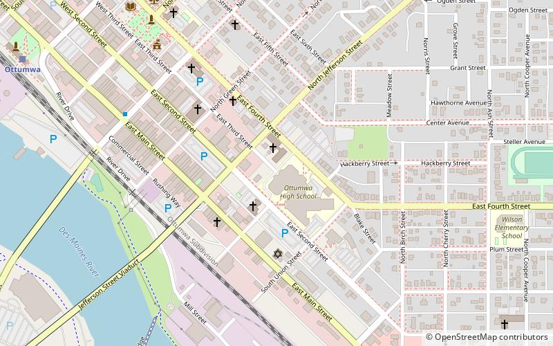
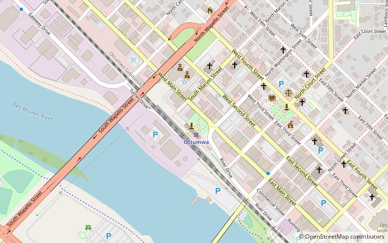
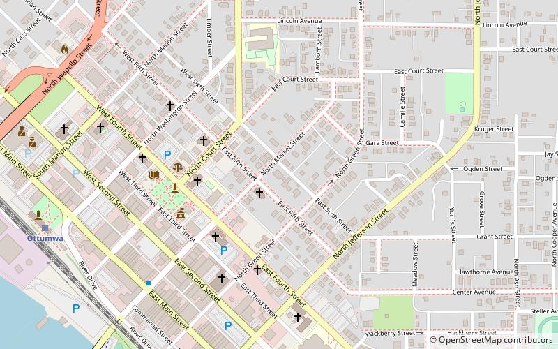
Map
Facts and practical information
Northeast Iowa Community College is a public community college with two main campuses in Iowa, one in Calmar and one in Peosta. The college serves the Iowa counties of Allamakee, Chickasaw, Clayton, Fayette, Howard, Winneshiek, Dubuque, and Delaware counties. It also includes sections of Bremer, Buchanan, Jones, Jackson, and Mitchell counties. NICC also has a satellite campus in downtown Dubuque. ()
Established: 1966 (60 years ago)Coordinates: 41°0'57"N, 92°24'25"W
Getting there by public transportation
Public transportation stops near this location
- Train
 Train
Train
- Calculate routeOttumwa 12 min walk
Day trips
Northeast Iowa Community College – popular in the area (distance from the attraction)
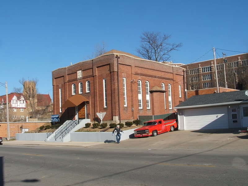
Nearby attractions include: B'nai Jacob Synagogue, Ottumwa City Hall, Jefferson Street Viaduct, Market on Main.


Frequently Asked Questions (FAQ)
Which popular attractions are close to Northeast Iowa Community College?
Nearby attractions include B'nai Jacob Synagogue, Ottumwa (4 min walk), Greater Second Street Historic District, Ottumwa (4 min walk), Benson Block, Ottumwa (5 min walk), Benson Building, Ottumwa (5 min walk).
How to get to Northeast Iowa Community College by public transport?
The nearest stations to Northeast Iowa Community College:
Train
Train
- Ottumwa (12 min walk)