Georgetown, Seattle
Map
Gallery
Facts and practical information
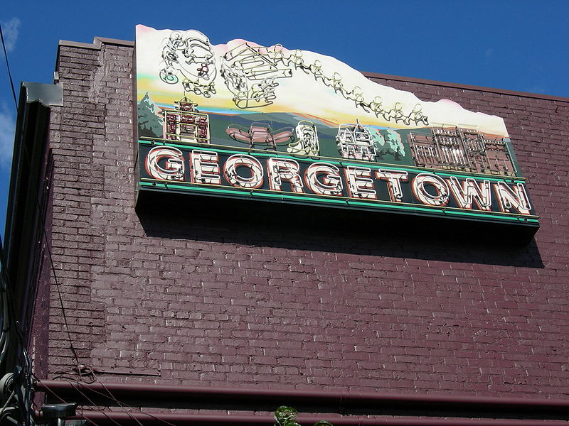
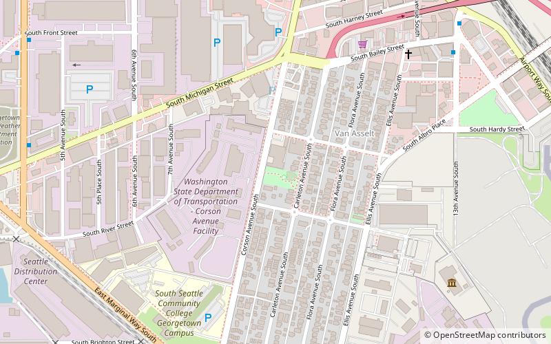
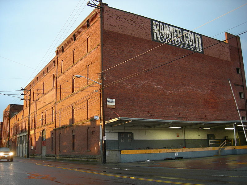
Georgetown is a neighborhood in Seattle, Washington, United States. It is bounded on the north by the mainlines of the BNSF Railway and Union Pacific Railroad, beyond which is the Industrial District; on the west by the Duwamish River, across which is South Park; on the east by Interstate 5, beyond which is Beacon Hill; and on the south by Boeing Field. ()
Coordinates: 47°32'35"N, 122°19'16"W
Address
6737 corson Ave south, seattle wa 98108Greater Duwamish (Georgetown)Seattle
Contact
Social media
Add
Day trips
Georgetown – popular in the area (distance from the attraction)
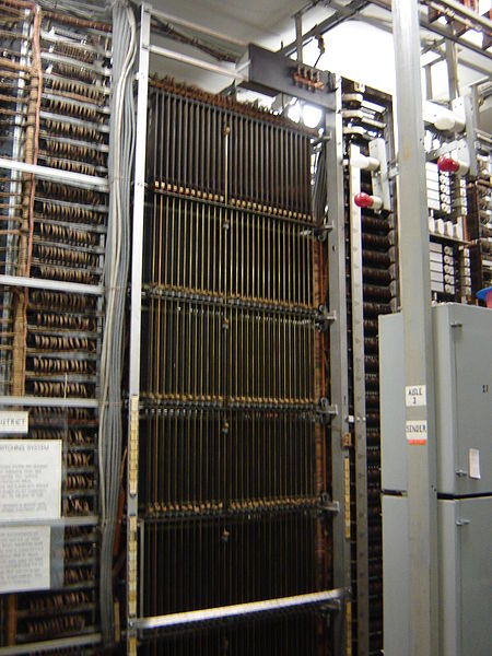
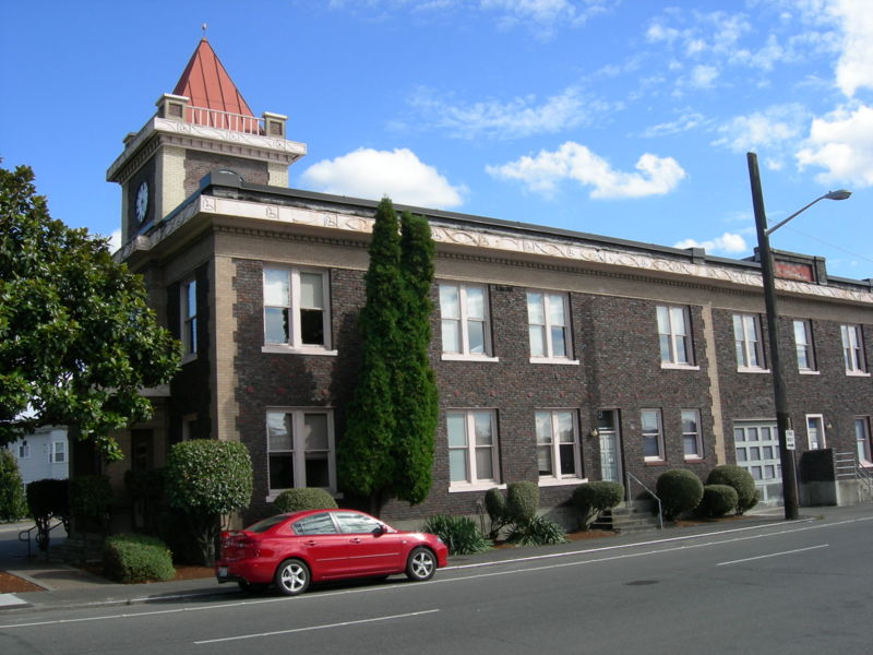
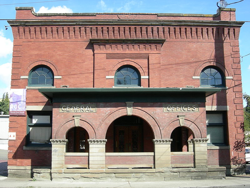
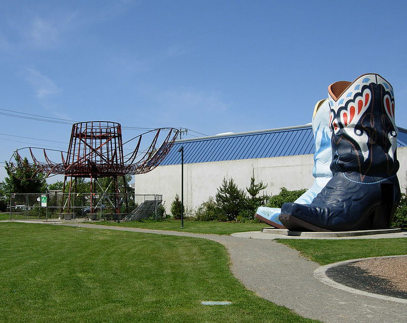
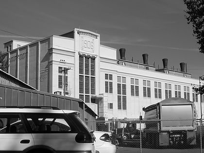
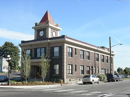
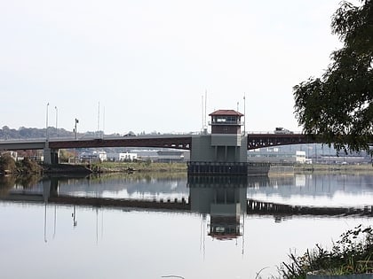
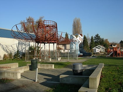
Nearby attractions include: Hat 'n' Boots, Georgetown Steam Plant, Old Georgetown City Hall, South Park Bridge.
Frequently Asked Questions (FAQ)
Which popular attractions are close to Georgetown?
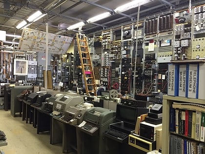
Nearby attractions include Oxbow Park, Seattle (4 min walk), Hat 'n' Boots, Seattle (4 min walk), Connections Museum, Seattle (5 min walk), Georgetown Steam Plant, Seattle (6 min walk).
How to get to Georgetown by public transport?
The nearest stations to Georgetown:
Bus
Bus
- Ellis Ave S & S Myrtle St • Lines: 124, 60 (7 min walk)
- East Marginal Way S & Ellis Ave S • Lines: 124, 60 (8 min walk)


