First Avenue South Bridge, Seattle
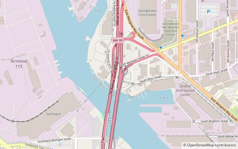
Map
Map

Facts and practical information
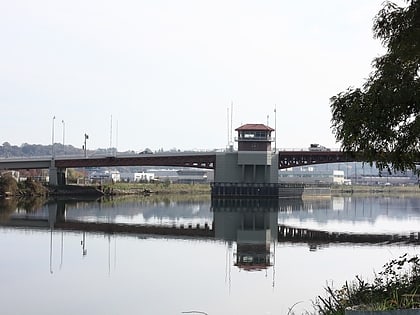
The First Avenue South Bridge is a pair of double-leaf bascule bridges built between 1956 and 1998 that carry State Route 99 over the Duwamish River about three miles south of downtown Seattle, Washington. ()
Opened: 1956 (70 years ago)Length: 3010 ftCoordinates: 47°32'38"N, 122°20'2"W
Address
Greater Duwamish (Georgetown)Seattle
ContactAdd
Social media
Add
Day trips
First Avenue South Bridge – popular in the area (distance from the attraction)
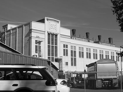
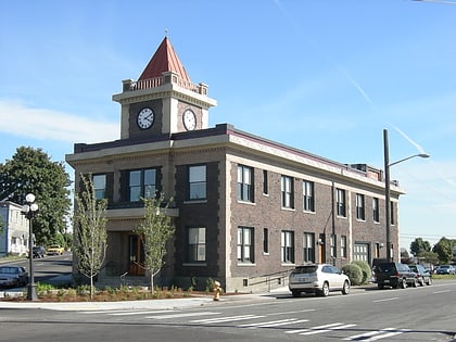
Nearby attractions include: Hat 'n' Boots, Georgetown Steam Plant, Old Georgetown City Hall, South Park Bridge.
Frequently Asked Questions (FAQ)
Which popular attractions are close to First Avenue South Bridge?
Nearby attractions include Connections Museum, Seattle (15 min walk), Oxbow Park, Seattle (15 min walk), Hat 'n' Boots, Seattle (15 min walk), Georgetown, Seattle (16 min walk).
How to get to First Avenue South Bridge by public transport?
The nearest stations to First Avenue South Bridge:
Bus
Bus
- S Michigan St & East Marginal Way S • Lines: 131, 132 (5 min walk)
- Highland Park Way SW & 2nd Ave SW • Lines: 131 (9 min walk)

