Memorial Bridge, Roanoke
Map

Map

Facts and practical information
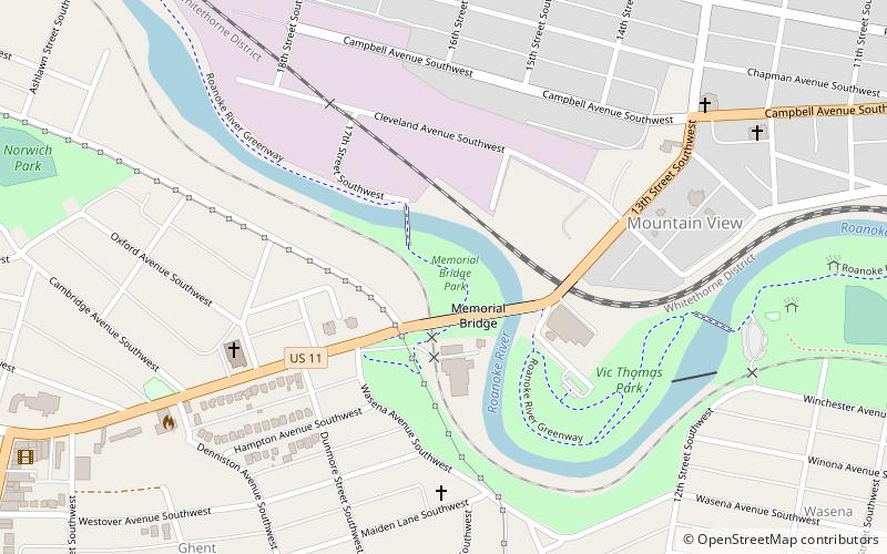
The Memorial Bridge is a two-lane, 785-foot-long bridge spanning the Roanoke River along U.S. Route 11 in Roanoke, Virginia. The bridge serves as a connection between the southwestern areas of the city with central Roanoke. Built by contractor W.W. Boxley, the bridge consists of five 120 feet spans, with construction commencing in summer 1925. The bridge officially opened to traffic on May 6, 1926, at a final cost of $282,750. ()
Length: 785 ftWidth: 54 ftCoordinates: 37°16'6"N, 79°58'7"W
Address
NorwichRoanoke
ContactAdd
Social media
Add
Day trips
Memorial Bridge – popular in the area (distance from the attraction)
Nearby attractions include: Grandin Theatre, Beth Israel Synagogue, Virginia Museum of Transportation, Mountain View.
Frequently Asked Questions (FAQ)
Which popular attractions are close to Memorial Bridge?
Nearby attractions include Mountain View, Roanoke (7 min walk), Mountain View, Roanoke (7 min walk), Wasena, Roanoke (13 min walk), Grandin Theatre, Roanoke (13 min walk).


