Bluemont Junction Trail, Arlington
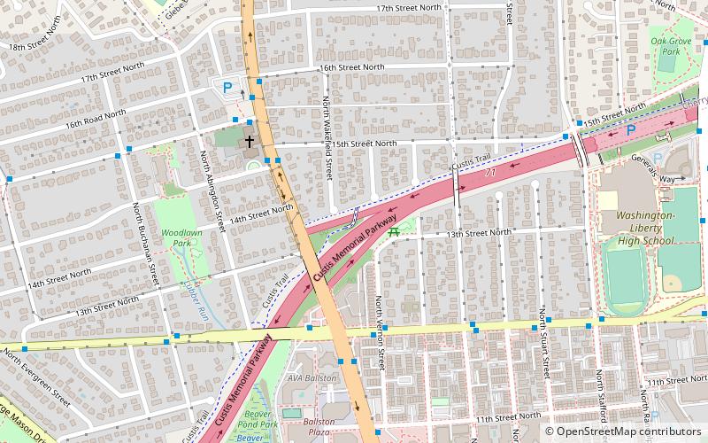
Map
Gallery
Facts and practical information
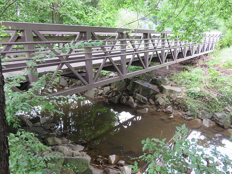
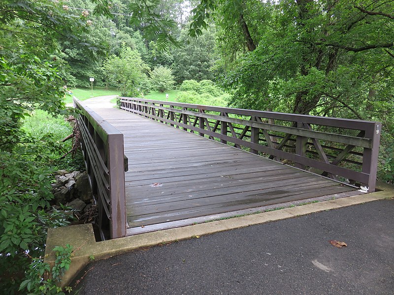
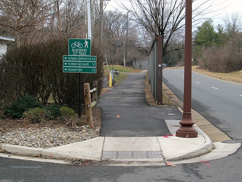
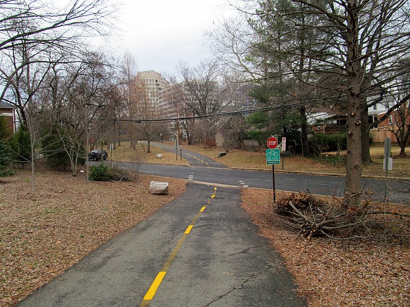
The Bluemont Junction Trail is a 1.2-mile asphalt-paved rail trail in Arlington County, Virginia, that the Arlington County government constructed along a former branch of the defunct Washington and Old Dominion Railroad. The shared use path travels southwest from Ballston through Bluemont Junction Park to Bluemont Junction. The trail connects Ballston to the Washington & Old Dominion Railroad Trail and the Four Mile Run Trail in and near Bluemont Park. ()
Length: 6864 ftCoordinates: 38°52'23"N, 77°7'58"W
Day trips
Bluemont Junction Trail – popular in the area (distance from the attraction)
Nearby attractions include: Eden Center, Kettler Capitals Iceplex, Ballston Common Mall, Custis Trail.
Frequently Asked Questions (FAQ)
Which popular attractions are close to Bluemont Junction Trail?
Nearby attractions include Reevesland, Arlington (4 min walk), Dominion Hills Historic District, Arlington (13 min walk), Upton Hill Regional Park, Arlington (16 min walk), Westover Historic District, Arlington (18 min walk).
How to get to Bluemont Junction Trail by public transport?
The nearest stations to Bluemont Junction Trail:
Bus
Metro
Bus
- 7th St N at N Kensingington St • Lines: 75 (5 min walk)
- N Kensignton St at 4th St N • Lines: 75 (8 min walk)
Metro
- Ballston–MU • Lines: Or, Sv (34 min walk)


