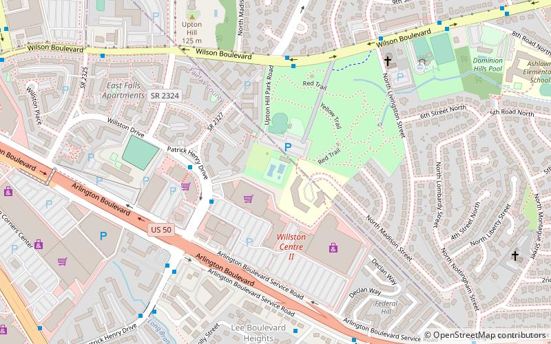
Upton Hill Regional Park, Arlington
Map
Facts and practical information
Upton Hill Regional Park is a regional park located in Arlington, Northern Virginia. The park contains a waterpark, batting cages and a miniature golf course. The batting cages include nine baseball and softball cages. It is owned and operated by the NOVA Parks agency of Northern Virginia. ()
Elevation: 394 ft a.s.l.Coordinates: 38°52'13"N, 77°8'38"W
Getting there by public transportation
Public transportation stops near this location
- Metro
- Bus
 Metro
Metro
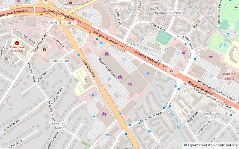
- Calculate routePatrick Henry Dr & Arlington Blvd 7 min walk
- Calculate routeArlington Blvd & Arlington Blvd 9 min walk
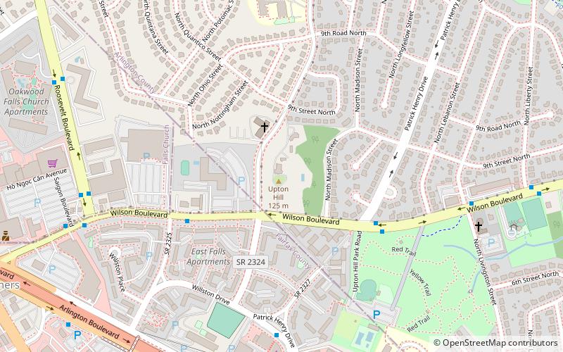
- Calculate routeEast Falls Church 33 min walk
Day trips


Frequently Asked Questions (FAQ)
Which popular attractions are close to Upton Hill Regional Park?
Nearby attractions include Upton's Hill, Arlington (8 min walk), Dominion Hills Historic District, Arlington (11 min walk), Reevesland, Arlington (17 min walk), Dar Al-Hijrah, Falls Church (17 min walk).
How to get to Upton Hill Regional Park by public transport?
The nearest stations to Upton Hill Regional Park:
Bus
Metro
Bus
- Patrick Henry Dr & Arlington Blvd • Lines: 4A, 4B (7 min walk)
- Arlington Blvd & Arlington Blvd • Lines: 4A, 4B (9 min walk)
Metro
- East Falls Church • Lines: Or, Sv (33 min walk)