Forest Hills, New York City

Gallery (9)
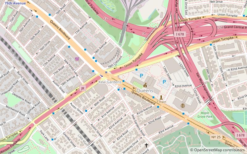
Map


Map

Gallery
Facts and practical information
Forest Hills is a mostly residential neighborhood in the central portion of the borough of Queens in New York City. It is adjacent to Corona to the north, Rego Park and Glendale to the west, Forest Park to the south, Kew Gardens to the southeast, and Flushing Meadows–Corona Park to the east. ()
Address
Northwestern Queens (Forest Hills)New York City
ContactAdd
Social media
Add
Getting there by public transportation
Public transportation stops near this location
- Metro
- Bus
- Train
 Metro
Metro
- Calculate routeForest Hills–71st Avenue 4 min walk
- Calculate route67th Avenue 12 min walk
- Calculate route71st Avenue & Queens Boulevard 5 min walk
- Calculate route71st Street & Queens Boulevard 5 min walk
- Calculate route69th Avenue & Dartmouth Street 6 min walk
- Calculate routeBurns Street & 68th Avenue 6 min walk
- Calculate routeForest Hills 5 min walk
- Calculate routeKew Gardens 31 min walk
Maps SubwayMaps
 Manhattan Buses
SubwayMapsManhattan BusesDay trips


Frequently Asked Questions (FAQ)
Which popular attractions are close to Forest Hills?
Nearby attractions include Forest Hills Stadium, New York City (5 min walk), The Church-in-the-Gardens, New York City (10 min walk), Queens Jewish Center, New York City (16 min walk), Rego Park Jewish Center, New York City (21 min walk).
How to get to Forest Hills by public transport?
The nearest stations to Forest Hills:
Metro
Bus
Train
Metro
- Forest Hills–71st Avenue • Lines: <F>, E, F, M, R (4 min walk)
- 67th Avenue • Lines: E, M, R (12 min walk)
Bus
- 71st Avenue & Queens Boulevard • Lines: Q23 (5 min walk)
- 71st Street & Queens Boulevard • Lines: Q23 (5 min walk)
Train
- Forest Hills (5 min walk)
- Kew Gardens (31 min walk)