Reed, Portland
Map
Map

Facts and practical information
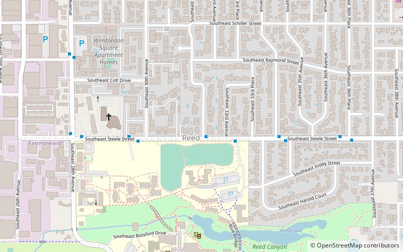
The Reed neighborhood of Portland, Oregon is in the southeast section of the city, just north of the campus of Reed College. The neighborhood is bounded on the west by railroad tracks, on the north by SE Holgate Ave. on the east by SE 39th Ave. and on the south by SE Reedway, SE Steele, and a line south of SE Insley and SE Harold Ct. Tucker Maxon School is located in the Reed Neighborhood, and the Reed Neighborhood Association sometimes uses the school to hold meetings. ()
Coordinates: 45°29'6"N, 122°37'55"W
Day trips
Reed – popular in the area (distance from the attraction)
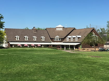
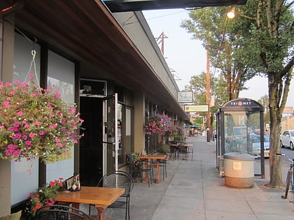
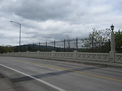
Nearby attractions include: Eastmoreland Golf Course, Rhine–Lafayette Pedestrian Overpass, Delta Cafe, Bybee Bridge.
Frequently Asked Questions (FAQ)
Which popular attractions are close to Reed?
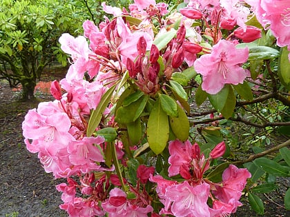
Nearby attractions include Blue Bridge, Portland (7 min walk), Eliot Hall, Portland (8 min walk), Eric V. Hauser Memorial Library, Portland (10 min walk), Crystal Springs Rhododendron Garden, Portland (13 min walk).
How to get to Reed by public transport?
The nearest stations to Reed:
Bus
Light rail
Bus
- Southeast Steele & 32nd • Lines: 10 (1 min walk)
Light rail
- Southeast Bybee Boulevard • Lines: Orange (21 min walk)

