Church of Our Saviour, Cincinnati

Gallery (1)
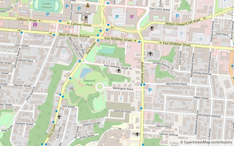
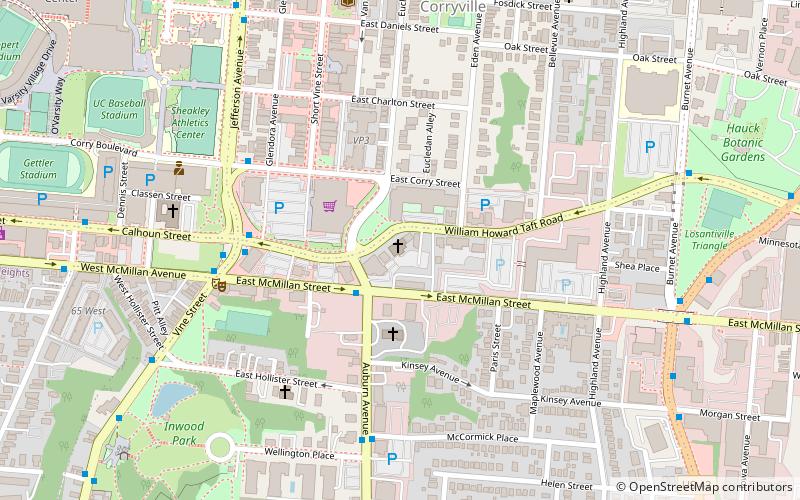
Map
Map
Facts and practical information
The Church of Our Saviour, located at 65 East Holister Street in the Mount Auburn neighborhood of Cincinnati, Ohio, is a parish of the Episcopal Diocese of Southern Ohio. The parish's historic stone church was built in 1877 in the Gothic Revival style. Our Saviour was founded by wealthy residents of the once-affluent suburb of Mount Auburn, about 1 mi north of downtown. Cincinnati annexed Mount Auburn in 1849. ()
Coordinates: 39°7'31"N, 84°30'37"W
Getting there by public transportation
Public transportation stops near this location
- Bus
- Tram
 Bus
Bus
- Calculate routeJefferson & Daniels 12 min walk
- Calculate routeReading & Morgan 12 min walk
- Calculate routeBrewery District 20 min walk
- Calculate routeFindlay Market–Elm 23 min walk
- Calculate routeLiberty & Race 25 min walk
Day trips


Frequently Asked Questions (FAQ)
Which popular attractions are close to Church of Our Saviour?
Nearby attractions include Glencoe–Auburn Hotel and Glencoe–Auburn Place Row Houses, Cincinnati (5 min walk), Mount Auburn Presbyterian Church, Cincinnati (6 min walk), St. George's Catholic Church, Cincinnati (7 min walk), Jacob D. Cox House, Cincinnati (10 min walk).
How to get to Church of Our Saviour by public transport?
The nearest stations to Church of Our Saviour:
Bus
Tram
Bus
- Jefferson & Daniels • Lines: 24, 78 (12 min walk)
- Reading & Morgan • Lines: 43 (12 min walk)
Tram
- Brewery District • Lines: 100 (20 min walk)
- Findlay Market–Elm • Lines: 100 (23 min walk)