Trek Zone

Mary Island State Park, Wellesley Island
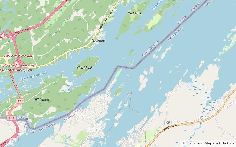
#3 among attractions in Wellesley Island

Nature, Natural attraction, Protected area
Mary Island State Park location map
Map

Facts and practical information
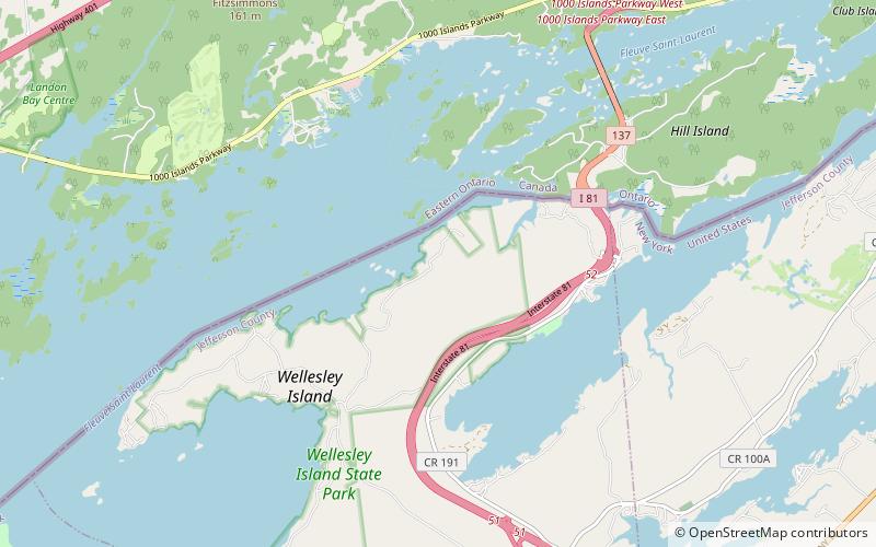
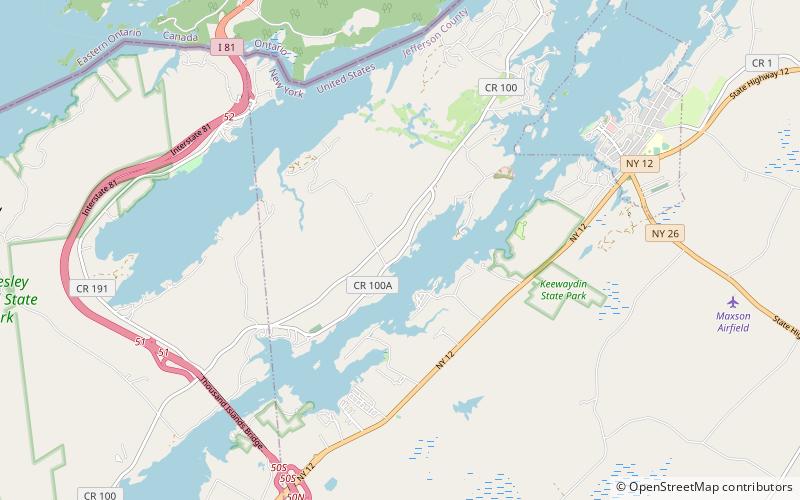
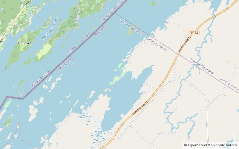
Created: 1897Visitors per year: 3.4 thous.Coordinates: 44°21'57"N, 75°55'17"W
Address

Wellesley Island United States

Contact
Social media
Add
Day trips

Mary Island State Park – popular in the area (distance from the attraction)

Nearby attractions include: Boldt Castle, Cornwall Brothers' Store, Thousand Islands Bridge, Church of Saint Lawrence.

  • boldt castle alexandria bay1.5 miS
  • cornwall brothers store alexandria bay1.9 miS
  • thousand islands bridge3.3 miSW
  • church of saint lawrence alexandria bay2 miS
  • sunken rock light alexandria bay1.4 miS
  • kestrel wellesley island1.4 miS
  • waterson point state park thousand islands location map
    4.6 miSW
  • wellesley island state park6 miSW
  • densmore bay church thousand islands location map
    3.4 miSW
  • ingleside alexandria bay location map
    2.3 miS
  • kring point state park location map
    3.3 miE

Where to next? Visit new york New York region page or discover the top tourist attractions in United States.