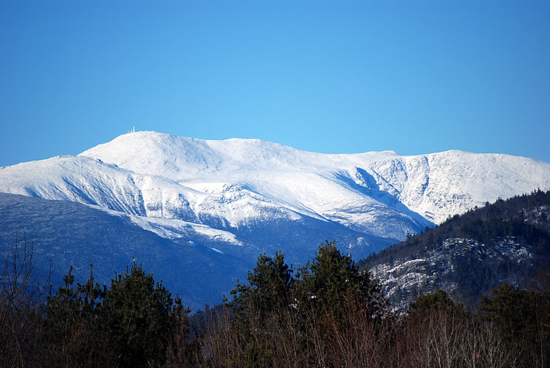
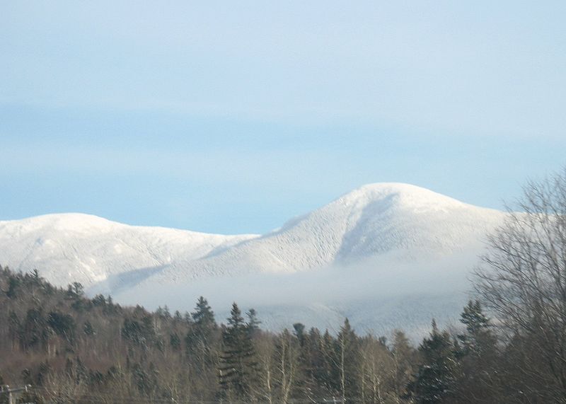
Mount Eisenhower, White Mountain National Forest

Gallery (2)
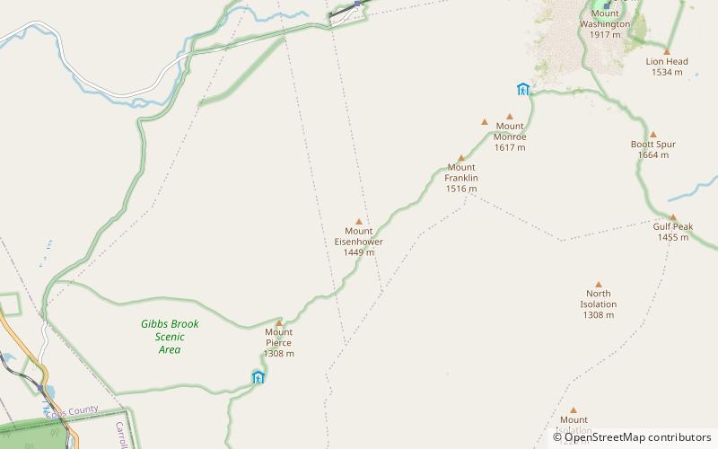
Map
Map
Gallery
Facts and practical information
Mount Eisenhower, formerly Mount Pleasant, is a mountain in the Presidential Range in the White Mountains of New Hampshire approximately 4,760 ft high. Named after President Dwight D. Eisenhower, its summit offers a 360° view. It is inaccessible by road. ()
Alternative names: First ascent: 1642Elevation: 4760 ftProminence: 350 ftCoordinates: 44°14'25"N, 71°21'1"W
Address
White Mountain National Forest
ContactAdd
Social media
Add
Day trips