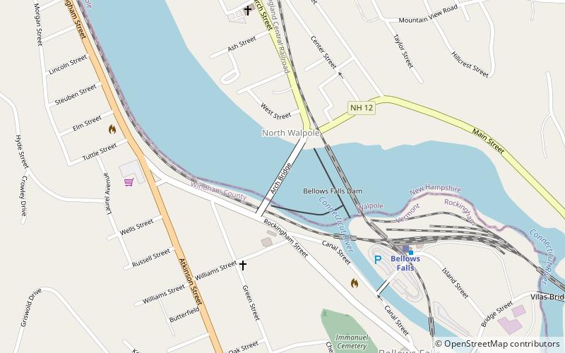
Arch Bridge, Bellows Falls
Map

Map

Facts and practical information
The Bellows Falls Arch Bridge was a three-hinged steel through arch bridge over the Connecticut River between Bellows Falls, Vermont and North Walpole, New Hampshire. It was structurally significant as the longest arch bridge in the United States when it was completed in 1905. ()
Length: 644 ftWidth: 32 ftHeight: 70 ftCoordinates: 43°8'17"N, 72°26'54"W
Address
RockinghamBellows Falls
ContactAdd
Social media
Add
Day trips
Arch Bridge – popular in the area (distance from the attraction)
Nearby attractions include: Bellows Falls Canal, Bellows Falls Opera House, Vilas Bridge, Rockingham Free Public Library.
Frequently Asked Questions (FAQ)
Which popular attractions are close to Arch Bridge?
Nearby attractions include Williams Street Extension Historic District, Bellows Falls (7 min walk), Bellows Falls Tunnel, Bellows Falls (10 min walk), Bellows Falls Canal, Bellows Falls (11 min walk), Moore and Thompson Paper Mill Complex, Bellows Falls (11 min walk).
How to get to Arch Bridge by public transport?
The nearest stations to Arch Bridge:
Train
Train
- Bellows Falls (6 min walk)


