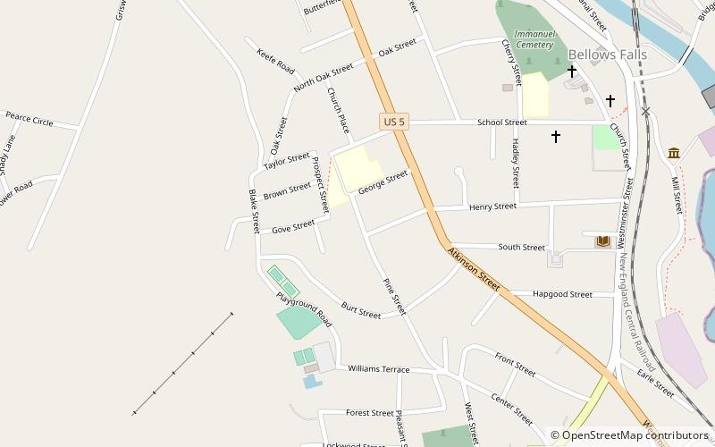
George–Pine–Henry Street Historic District, Bellows Falls
Map

Map

Facts and practical information
The George–Pine–Henry Historic District encompasses a residential area of the village of Bellows Falls, Vermont. Located west of downtown Bellows Falls, the area has a significant concentration of well-preserved late 19th and early 20th-century residences. It was listed on the National Register of Historic Places in 2010. ()
Coordinates: 43°7'52"N, 72°27'2"W
Address
RockinghamBellows Falls
ContactAdd
Social media
Add
Day trips
George–Pine–Henry Street Historic District – popular in the area (distance from the attraction)
Nearby attractions include: Bellows Falls Canal, Bellows Falls Opera House, Vilas Bridge, Arch Bridge.
Frequently Asked Questions (FAQ)
Which popular attractions are close to George–Pine–Henry Street Historic District?
Nearby attractions include Bellows Falls Neighborhood Historic District, Bellows Falls (2 min walk), Rockingham Free Public Library, Bellows Falls (7 min walk), Williams Street Extension Historic District, Bellows Falls (9 min walk), Bellows Falls Tunnel, Bellows Falls (10 min walk).
How to get to George–Pine–Henry Street Historic District by public transport?
The nearest stations to George–Pine–Henry Street Historic District:
Train
Train
- Bellows Falls (12 min walk)


