Saddle Creek Underpass, Omaha
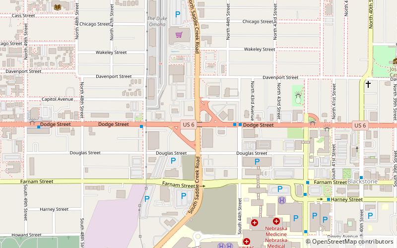
Map

Map

Facts and practical information
The Saddle Creek Underpass is located in the Midtown area of Omaha, Nebraska. Designed to carry Saddle Creek Road under Dodge Street, the underpass was constructed in 1934 by the Works Progress Administration. It was included on the Bridges in Nebraska Multiple Property Submission on June 29, 1992. ()
Built: 1934 (92 years ago)Coordinates: 41°15'35"N, 95°58'49"W
Address
MidtownOmaha
ContactAdd
Social media
Add
Day trips
Saddle Creek Underpass – popular in the area (distance from the attraction)
Nearby attractions include: Joslyn Castle, St. Cecilia Cathedral, Pella Lutheran Church, Dundee Theatre.
Frequently Asked Questions (FAQ)
Which popular attractions are close to Saddle Creek Underpass?
Nearby attractions include Pella Lutheran Church, Omaha (10 min walk), Joslyn Castle, Omaha (12 min walk), Dundee Theatre, Omaha (13 min walk), West Farnam Apartments, Omaha (16 min walk).
How to get to Saddle Creek Underpass by public transport?
The nearest stations to Saddle Creek Underpass:
Bus
Bus
- 50th & Dodge • Lines: 2 (14 min walk)


