Lowe Avenue Presbyterian Church Omaha, Omaha
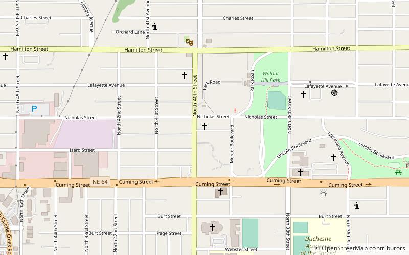
Map
Facts and practical information
Lowe Avenue Presbyterian Church was a church in the Omaha, Nebraska. ()
Coordinates: 41°16'11"N, 95°58'21"W
Address
Midtown (Bemis Park)Omaha
ContactAdd
Social media
Add
Getting there by public transportation
Public transportation stops near this location
- Bus
 Bus
Bus
- Calculate routePark Avenue & Douglas 30 min walk
- Calculate route50th & Dodge 30 min walk
Day trips


Frequently Asked Questions (FAQ)
Which popular attractions are close to Lowe Avenue Presbyterian Church Omaha?
Nearby attractions include Lincoln Boulevard, Omaha (5 min walk), Bemis Park Landmark Heritage District, Omaha (5 min walk), St. Cecilia Cathedral, Omaha (6 min walk), Walnut Hill, Omaha (8 min walk).
How to get to Lowe Avenue Presbyterian Church Omaha by public transport?
The nearest stations to Lowe Avenue Presbyterian Church Omaha:
Bus
Bus
- Park Avenue & Douglas • Lines: 2 (30 min walk)
- 50th & Dodge • Lines: 2 (30 min walk)