Fort Pierce Inlet State Park, North Hutchinson Island

Gallery (4)
Map

Map
Gallery
Facts and practical information
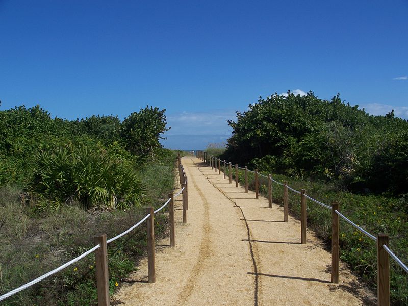
Fort Pierce Inlet State Park, a 340-acre part of the Florida State Park system, is located just north of the Fort Pierce Inlet, on North Hutchinson Island, near Fort Pierce. It consists of beaches, dunes and a coastal hammock between the Atlantic Ocean and the waters of Tucker Cove, an indentation of the Indian River Lagoon. ()
Elevation: 3 ft a.s.l.Coordinates: 27°28'43"N, 80°18'4"W
Address
Hutchinson Island North (North Beach)North Hutchinson Island
ContactAdd
Social media
Add
Day trips


