Maclure Glacier, Yosemite National Park
Map

Map

Facts and practical information
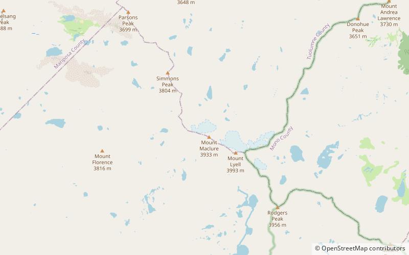
Maclure Glacier is on Mount Maclure in the Sierra Nevada crest of Yosemite National Park in Tuolumne County, California, United States. The glacier is named after William Maclure. Like most glaciers in the Sierra Nevada, Maclure Glacier is a small cirque glacier that is.20 mi long and covers an area of only.08 sq mi. The mean elevation of the glacier is around 11,400 ft. Both the Maclure Glacier and the Lyell Glacier, located nearby on Mount Lyell, have retreated since their first discovery. ()
Length: 1056 ftCoordinates: 37°44'46"N, 119°16'55"W
Address
Yosemite National Park
ContactAdd
Social media
Add
Day trips
Maclure Glacier – popular in the area (distance from the attraction)
Nearby attractions include: Mount Lyell, Simmons Peak, Cathedral Range, Mount Maclure.
Frequently Asked Questions (FAQ)
Which popular attractions are close to Maclure Glacier?
Nearby attractions include Mount Maclure, Yosemite National Park (5 min walk), Mount Lyell, Yosemite National Park (19 min walk), Cathedral Range, Yosemite National Park (19 min walk), Lyell Glacier, Yosemite National Park (19 min walk).


