Simmons Peak, Yosemite National Park
#63 among attractions in Yosemite National Park
![Simmons Peak location map](https://tzmedia.b-cdn.net/media/images/static-maps/us/37_7607_-119_29437.jpg)
Facts and practical information
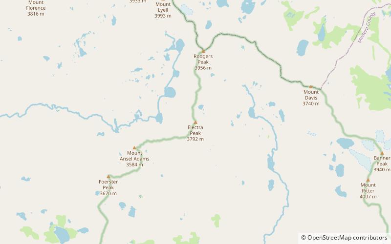
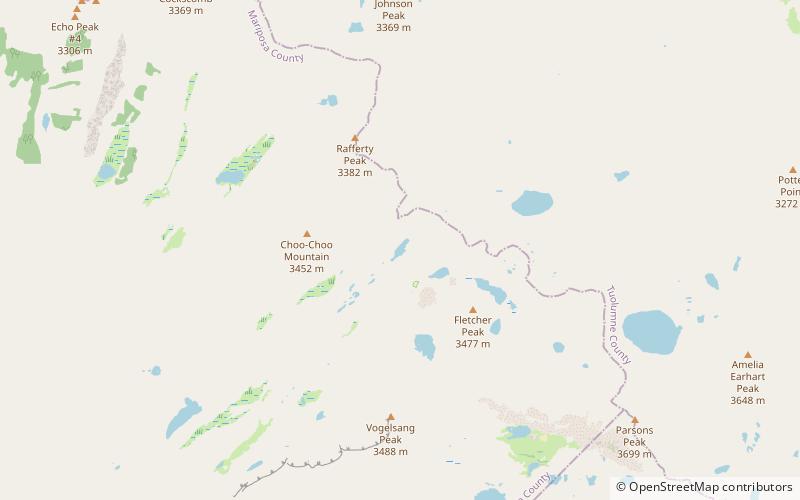
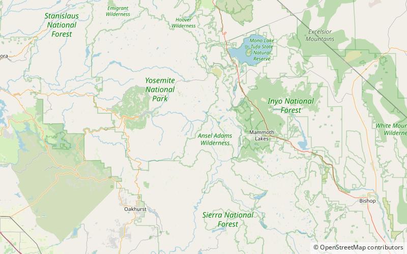
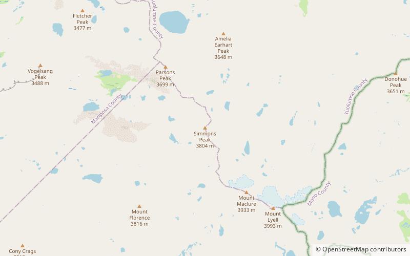
Simmons Peak is a mountain, in the Tuolumne Meadows region of Yosemite National Park. In difficulty, its routes range from scrambling to class 4. It is a few miles north of Mount Lyell. ()
Yosemite National Park United States
Yosemite National Park plan & book
Unleash the traveler in you — discover the cheapest flight deals, find the perfect hotel or hostel nearby, and search for the best car rental prices. Travel at your own pace to discover new places and enjoy your journey.
Simmons Peak – popular in the area (distance from the attraction)
Nearby attractions include: Mount Lyell, Johnson Peak, Vogelsang Peak, Electra Peak.
1.9 miSENatural attraction, Nature, MountainMount Lyell, Yosemite National Park
49 min walk • Mount Lyell is the highest point in Yosemite National Park, at 13,114 feet. It is located at the southeast end of the Cathedral Range, 1.2 miles northwest of Rodgers Peak.
5.9 miNWMountainJohnson Peak, Yosemite National Park
152 min walk • Johnson Peak is the highest mountain, in Tuolumne Meadows, Yosemite National Park. Johnson Peak is made of eroded granite. At 85 Ma, the Johnson Granite Porphyry is the youngest granite rock in the Yosemite National Park, though the entire peak formed beneath the Earth's crust.
3.2 miWNatural attraction, Nature, MountainVogelsang Peak, Yosemite National Park
82 min walk • Vogelsang Peak is a peak in the Cathedral Range of Yosemite National Park, located in northeastern Mariposa County, California.
4.3 miSEMountainElectra Peak, Yosemite National Park
109 min walk • Electra Peak is a mountain, broadly in the Tuolumne Meadows area of Yosemite National Park, if far, from the road. Electra Peak is the 14th highest mountain in Yosemite National Park. Electra Peak may have been named for a play called Electra.
4 miNWNatural attraction, Nature, LakeBoothe Lake, Yosemite National Park
102 min walk • Boothe Lake is a lake in Yosemite National Park, United States. Boothe Lake was named in honor of Clyde Boothe, a park ranger.
5.6 miSNature, Natural attraction, LakeBlue Lake, Ansel Adams Wilderness
144 min walk • Blue Lake is a lake in Madera County, California, in the United States. The name is likely descriptive.
1.9 miSENatural attraction, Mountain, ParkCathedral Range, Yosemite National Park
49 min walk • The Cathedral Range is a mountain range immediately to the south of Tuolumne Meadows in Yosemite National Park. The range is an offshoot of the Sierra Nevada. The range is named after Cathedral Peak, which resembles a cathedral spire.
1.9 miSWMountainMount Florence, Yosemite National Park
48 min walk • Mount Florence is a mountain, in the Tuolumne Meadows region of Yosemite National Park. Its easiest route is a class 2 scramble. Mount Florence is the tenth highest mountain in Yosemite.
1.8 miNMemorialAmelia Earhart Peak, Yosemite National Park
46 min walk • Amelia Earhart Peak is a summit in Tuolumne County, California, in the United States. With an elevation of 11,978 feet, Amelia Earhart Peak is the 304th highest summit in the state of California.
5.2 miSENature, Natural attraction, MountainMount Davis, Ansel Adams Wilderness
132 min walk • Mount Davis is a prominent peak in the Ansel Adams Wilderness on the Inyo National Forest and south of Yosemite National Park. The peak was named in honor of Lieutenant Milton Fennimore Davis, who was with the first troops detailed to guard Yosemite National Park.
1.4 miSENatural attraction, Nature, MountainMount Maclure, Yosemite National Park
35 min walk • Mount Maclure is the nearest neighbor to Mount Lyell, the highest point in Yosemite National Park. Mount Maclure is the fifth-highest mountain of Yosemite.