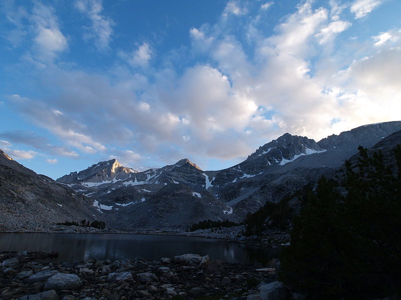
Mount Mills, John Muir Wilderness

Gallery (2)
Map
Map
Gallery
Facts and practical information
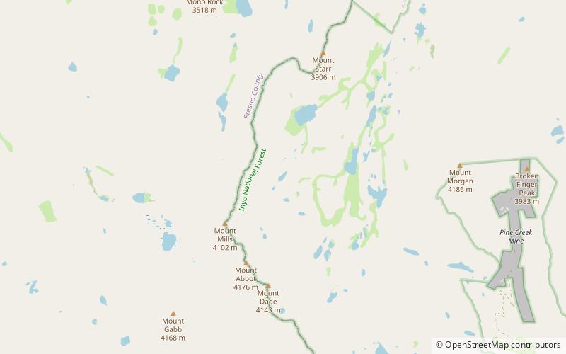
Mount Mills is a Thirteener and California 4000 meter peak, on the Sierra Crest, north of Mount Abbot and south of Mono Pass in the Sierra Nevada. ()
First ascent: 1921Elevation: 13457 ftProminence: 451 ftCoordinates: 37°23'38"N, 118°47'28"W
Address
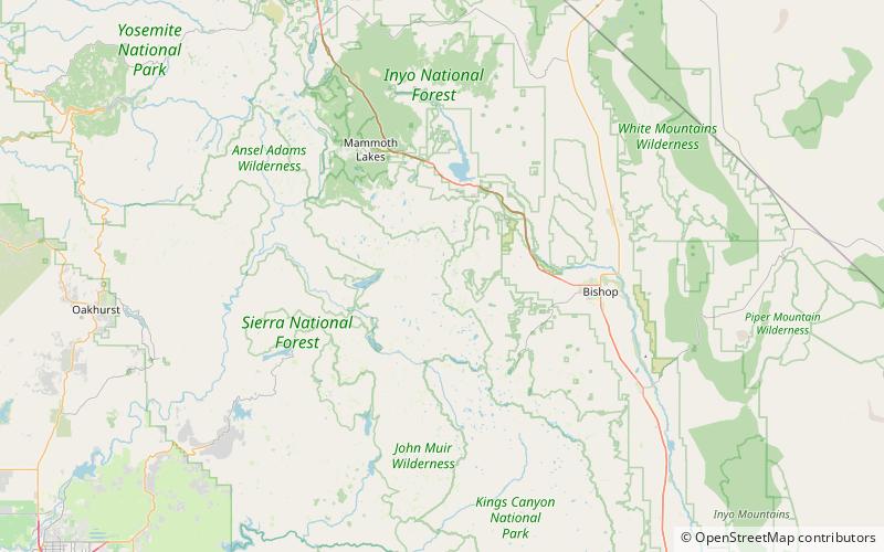
John Muir Wilderness
ContactAdd
Social media
Add
Day trips