Mills Lake, John Muir Wilderness

Map
Facts and practical information
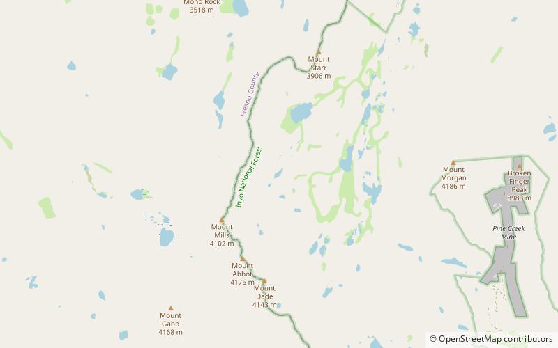
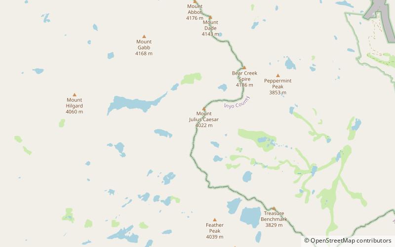
Mills Lake is a California waterbody along the Sierra Crest east of Ruby Peak and Mount Mills near Little Lakes Valley. The discharge of Mills Lake flows through Ruby Lake, Rock Creek Lake, and into Rock Creek. ()
Elevation: 11670 ft a.s.l.Coordinates: 37°24'10"N, 118°46'34"W
Address
John Muir Wilderness
ContactAdd
Social media
Add
Day trips
Mills Lake – popular in the area (distance from the attraction)
Nearby attractions include: Mount Abbot, Mount Morgan, Mount Mills, Bear Creek Spire.


