Ruby Peak, John Muir Wilderness
Map

Map

Facts and practical information
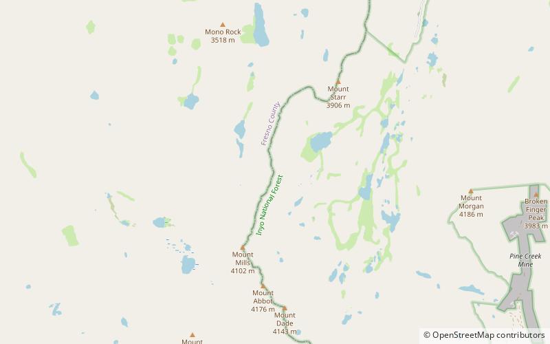
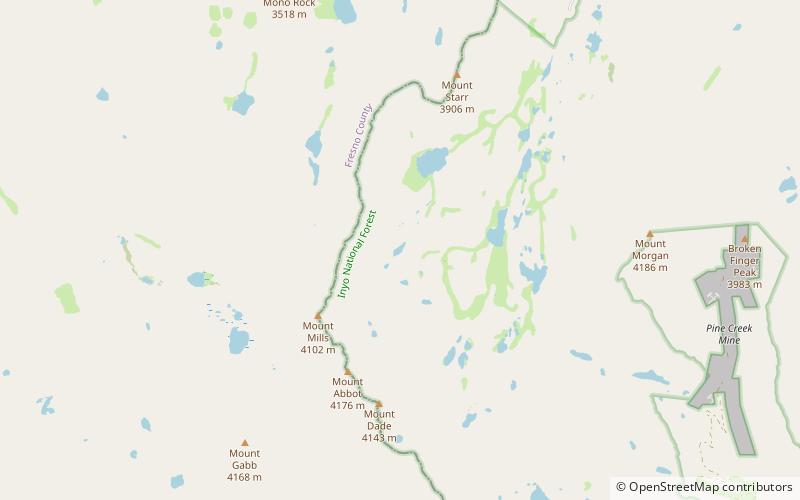
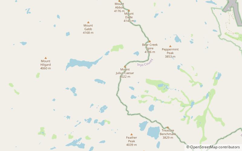
Ruby Peak is a thirteener on the Sierra Crest, north of Mount Mills. It is in the John Muir Wilderness and on the boundary between the Sierra National Forest and the Inyo National Forest. It is near Mono Pass. The eastern slope drains into Rock Creek which feeds the Owens River while the western slopes drains in Mono Creek which feeds the South Fork of the San Joaquin River. ()
First ascent: 1946Elevation: 13194 ftProminence: 588 ftCoordinates: 37°24'32"N, 118°46'55"W
Address
John Muir Wilderness
ContactAdd
Social media
Add
Day trips
Ruby Peak – popular in the area (distance from the attraction)
Nearby attractions include: Mount Abbot, Mount Morgan, Mount Mills, Mills Lake.


