Mount Ansel Adams, Yosemite National Park

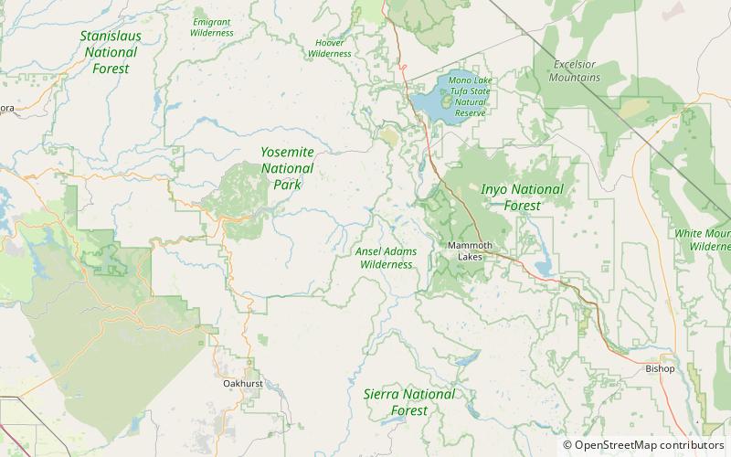
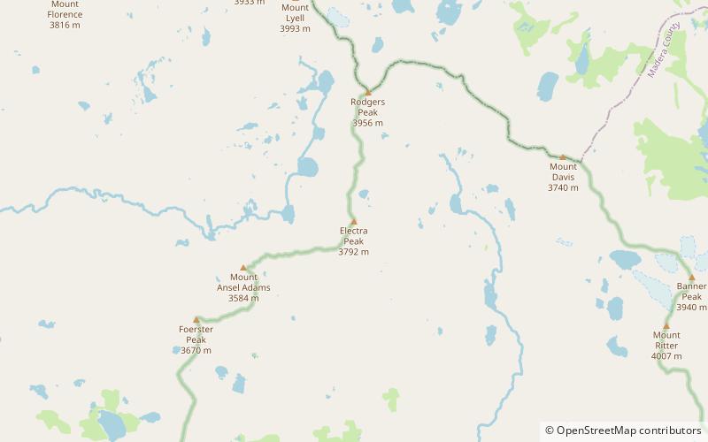
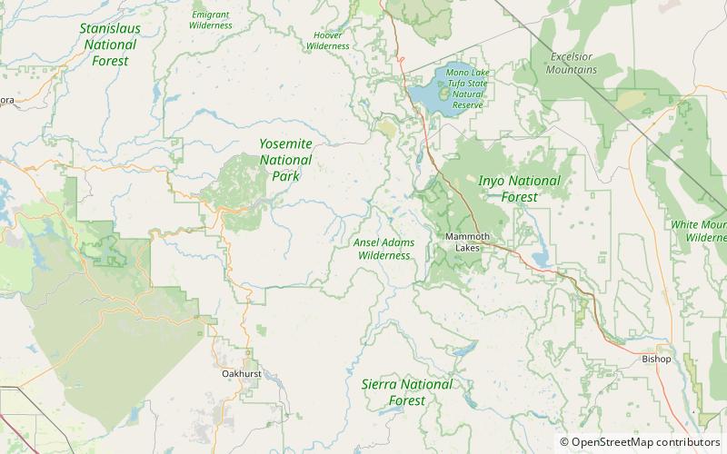
Map
Facts and practical information
Mount Ansel Adams is a peak in the Sierra Nevada of California. At an elevation of 11,766 ft. the summit is in Yosemite National Park near the park's eastern boundary. It lies 0.8 miles northeast of Foerster Peak and 1.3 miles west-southwest of Electra Peak at the head of the Lyell Fork of the Merced River. It was named in 1985 for Ansel Adams, the preeminent landscape photographer, conservationist, and member of the Board of Directors of the Sierra Club, a role he maintained for 37 years. ()
First ascent: 1934Coordinates: 37°41'52"N, 119°16'52"W
Address
Yosemite National Park
ContactAdd
Social media
Add
Day trips
Mount Ansel Adams – popular in the area (distance from the attraction)
Nearby attractions include: Thousand Island Lake, Banner Peak, Mount Lyell, Simmons Peak.


