KHJ-TV/FM Tower, San Gabriel Mountains National Monument
Map
Facts and practical information
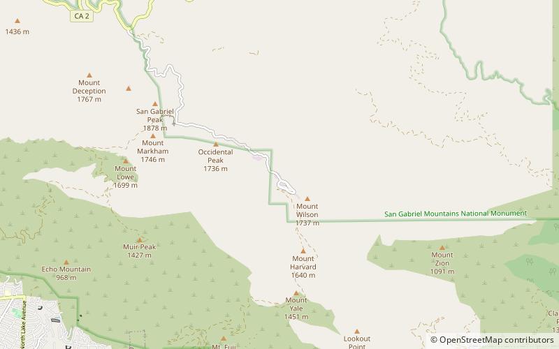
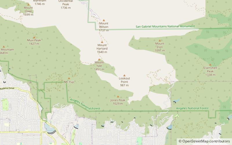
KHJ-TV/FM Tower is a 141.4-metre high self-supporting radio/television tower on Mount Wilson above Los Angeles, California, near the Mount Wilson Observatory. The KHJ-TV/FM Tower was built in 1983. It is owned by CBS Corporation and used by KCAL-TV, KRTH, and KPWR. ()
Coordinates: 34°13'44"N, 118°4'5"W
Address
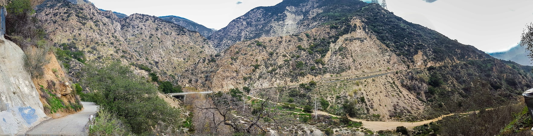
San Gabriel Mountains National Monument
ContactAdd
Social media
Add
Day trips


Frequently Asked Questions (FAQ)
Which popular attractions are close to KHJ-TV/FM Tower?
Nearby attractions include KCBS-TV/FM Tower, Angeles National Forest (8 min walk), Mount Wilson, San Gabriel Mountains National Monument (14 min walk), Mount Wilson Observatory, Angeles National Forest (22 min walk).