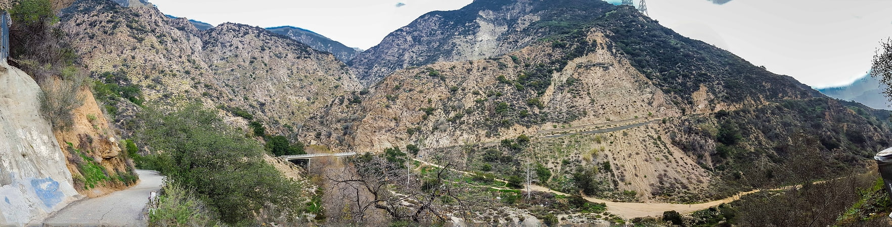
Gabrielino Trail, San Gabriel Mountains National Monument

Gallery (1)
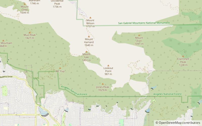
Map
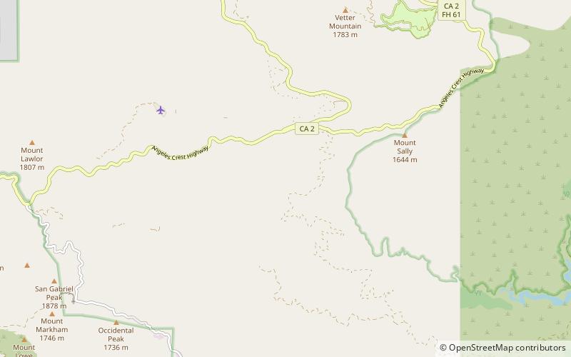
Map
Facts and practical information
The Gabrielino Trail is a United States National Recreation Trail that runs through the Angeles National Forest with trailheads at Windsor Avenue in Altadena, California on the west end and Chantry Flat, just north of Arcadia, California, on the east. It passes through three major watersheds and has an elevation gain/loss of 3,500 ft ()
Length: 28.5 miCoordinates: 34°15'49"N, 118°2'35"W
Address
San Gabriel Mountains National Monument
ContactAdd
Social media
Add
Day trips