Transfiguration Catholic Community, San Jose
Map
Facts and practical information
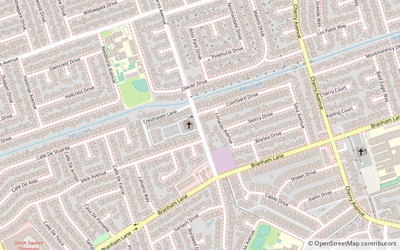
The Church of the Transfiguration is a Roman Catholic parish community, located in San Jose, California. The parish serves 750 families in the Diocese of San Jose. The church was founded in 1965 as a parish of the Archdiocese of San Francisco, and is named for the Transfiguration of Jesus. ()
Coordinates: 37°15'40"N, 121°53'28"W
Getting there by public transportation
Public transportation stops near this location
- Bus
 Bus
Bus
- Calculate routeMeridian Avenue & Ilikai Avenue 14 min walk
Day trips


Frequently Asked Questions (FAQ)
How to get to Transfiguration Catholic Community by public transport?
The nearest stations to Transfiguration Catholic Community:
Bus
Bus
- Meridian Avenue & Ilikai Avenue • Lines: 64B (14 min walk)